Ribble Way Walk OS Map and GPX
![]()
![]() Follow the River Ribble through the beautiful Ribble Valley from its mouth at Longton, near Preston, to the source at Gayle Moor in Yorkshire.
Follow the River Ribble through the beautiful Ribble Valley from its mouth at Longton, near Preston, to the source at Gayle Moor in Yorkshire.
You start at Longton just to the west of Preston and follow the river through Ribchester and Clitheroe, before reaching Gisburn. The path then crosses from Lancashire into Yorkshire before passing through the stunning Yorkshire Dales national park and finishing at the source at Gavel Moor near Ribblehead and the magnificent Ribblehead Viaduct.
The route passes through a variety of landscapes including tidal marsh, open moorland and limestone gorges.
Highlights on the route include the beautiful area around Hurst Green. Around here you can pick up the where you can pick up the Tolkien Trail. The literary trail explores an area of the Ribble Valley connected with the Lord of the Rings trilogy.
Ribble Way Ordnance Survey Map  - view and print off detailed OS map
Ribble Way Open Street Map  - view and print off detailed map
*New* - Walks and Cycle Routes Near Me Map - Waymarked Routes and Mountain Bike Trails>>
Ribble Way OS Map  - Mobile GPS OS Map with Location tracking
Ribble Way Open Street Map  - Mobile GPS Map with Location tracking
Pubs/Cafes
On the walk you can enjoy well earned refreshments at the Station Inn (Postcode: LA6 3AS). The pub is located next to the Ribblehead Viaduct and is very walker friendly. There's a good menu and you can also book rooms for the night. Just up the road to the west you'll find the Old Hill Inn (LA6 3AR). This pub dates all the way back to 1615 and is another popular spot for walkers exploring the Dales.
In the prety village of Sawley there's the Spread Eagle Inn to cinsider. The splendid inn is located in a fine spot next to the river near the old bridge. On sunny days you can sit outside and enjoy a fine meal with views over the water. In the village you can visit the ruins of the 12th century Sawley Abbey which is run by English Heritage.
Just west of Sawley you'll find the worthy village of Waddington. There's a few lovely pubs here including the splendid Higher Buck. They serve particularly fine food and have a good selection of ales. You can find them on the Square at postcode BB7 3HZ for your sat navs. The pub also provides rooms if you'd like to stay over. There's also the sister pub of the Lower Buck and the Waddington Arms which have nice garden areas.
The village itself is also very pretty and a regular winner of the Lancashire Best Kept Village awards. A stroll along the Waddington Brook and through the delightful Coronation gardens is recommended here.
In Hurst Green there's the Shireburn Arms. The pub dates back to the 17th century and includes a charming interior with several original architectural features. They serve high quality food and also provide rooms if you'd like to stay in the area. The village is also a good start point for exploring the historic Stonyhurst College which dates back to the 16th century.
To the east of Sawley there's the The White Bull in Gisburn. The 18th century coaching in does a fine Sunday roast and also provides rooms if you'd like to stay in the area.
You can find the inn on the Main Street at postcode BB7 4HE for your sat navs.
The pub has a lovely garden and is also dog friendly if you have your canine friend with you.
Further Information and Other Local Ideas
Just west of Longton at the start of the route there's Hesketh Bank where you can explore the RSPB's Hesketh Out Marshes Nature Reserve. The reserve is a great place for bird spotting on the Ribble Estuary.
For more walking ideas in the area see the Ribble Valley Walks and the Lancashire Walks page.
Cycle Routes and Walking Routes Nearby
Photos
Long Lane and the trail. This is the junction of Long Lane with the B6479. The signpost on the right reads 'BW Dale Head 2 3/4' and also carries the logo indicating that it is also the Ribble Way. In 2009 Long Lane is now classified as a BOAT - Byway open to all traffic.
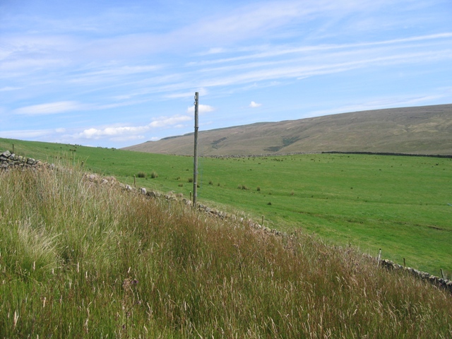
Limestone pasture above High Birkwith. The path dips into the narrow gill and can be seen emerging from the other side.
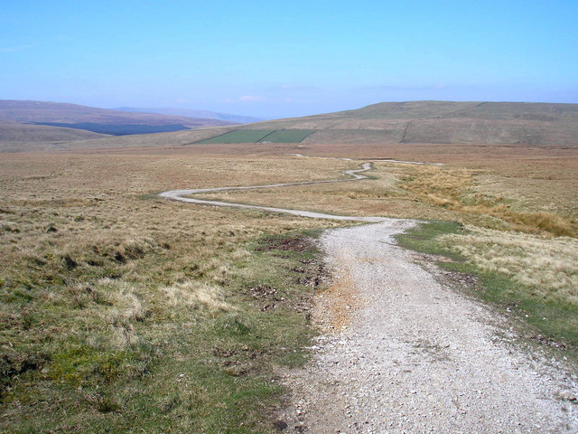
Near the source of the Ribble on Gayle Moor. The track is to be part of the Pennine Bridleway and has been given a surface suitable for that purpose.
A view of the tranquil River Ribble from the Ribble Way as they both head south for Settle. Hard to imagine this view is only 150 metres south of Stainforth Force. The grid line at the edge of the square runs from behind the wall on the left, across the centre of the photo.
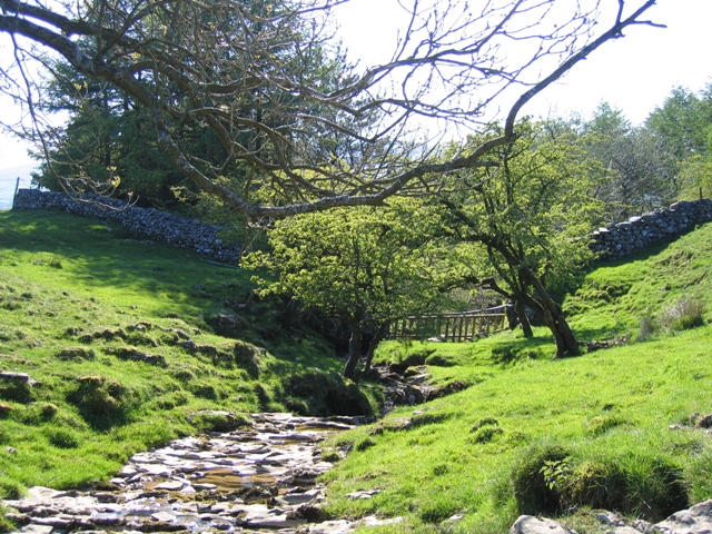
Coppy Gill downstream from the trail. Looking west along Coppy Gill from where the Ribble Way crosses it.
Elevation Profile


