Hutton-le-Hole Country Circular Walk
![]()
![]() This delightful village in the North York Moors is a splendid place for a stroll. There's lots of nice cottages, sheep roaming freely around, the pretty Hutton Beck and the Ryedale Folk Museum. The fascinating museum is one of the highlights of the area. It includes several rescued and reconstructed historic buildings, including an Iron Age round house, period shops, thatched cottages, an Elizabethan manor house, barns and workshops.
This delightful village in the North York Moors is a splendid place for a stroll. There's lots of nice cottages, sheep roaming freely around, the pretty Hutton Beck and the Ryedale Folk Museum. The fascinating museum is one of the highlights of the area. It includes several rescued and reconstructed historic buildings, including an Iron Age round house, period shops, thatched cottages, an Elizabethan manor house, barns and workshops.
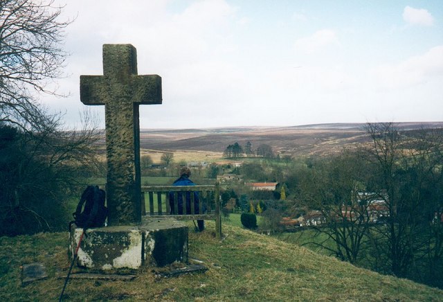
This circular walk takes you through the countryside surrounding the village, visiting the nearby Lastingham. The walk runs for about 4 miles with some moderate climbing on the return leg from Lastingham.
In Lastingham a visit to the beautiful St Mary's Church is advised. It has an exquisite interior which includes an eleventh-century crypt.
Just to the east of the village you can continue your walking in the expansive Cropton Forest. The long distance Tabular Hills Walk runs through Hutton-le-Hole. You could pick it up and follow it through Appleton-le-Moors to the woods.
Continuing along the Tabular Hills Walk will eventually bring you to Levisham and the wonderful Hole of Horcum which is a must see if you are visiting the area.
To the north of the village are the popular valleys of Rosedale where you can visit the historic abbey, the splendid old kilns at Rosedale Chimney Bank and the heritage mineral railway on the Rosedale Railway Walk. There's also Farndale and the popular Daffodil Walk to try in spring.
You are also not far from the town of Pickering where you can visit the castle and enjoy walks along the Pickering Beck. You can also pick up the popular North Yorkshire Moors Railway here.
Hutton-le-Hole Ordnance Survey Map  - view and print off detailed OS map
Hutton-le-Hole Open Street Map  - view and print off detailed map
Hutton-le-Hole OS Map  - Mobile GPS OS Map with Location tracking
Hutton-le-Hole Open Street Map  - Mobile GPS Map with Location tracking
Further Information and Other Local Ideas
Head a couple of miles south west from the village and you will come to the market town of Kirkbymoorside. The town is well known for its Wednesday market which dates all the way back to the 13th century. In the town you'll also find cobbled streets, interesting old cottages and a Saxon church. The Kirkbymoorside Walk visits the nearby village of Gillamoor where you can enjoy fine views over Farndale from 'Suprise View'.
Just to the east you can pick up the circular Lastingham Walk and climb across Spaunton Moor to the Ana Cross viewpoint. You can also visit the noteworthy 11th century church and a fine 18th century local pub in the village.
To the south east there's neighbouring Appleton Le Moors. It's another quaint place with a notable Grade I listed church and an excellent pub dating to the 17th century. There's also some lovely walks along the scenic River Seven to Sinnington to enjoy here.
For more walks in the area see the North York Moors Walks page.


