Hydon's Ball and Hydon Heath
![]()
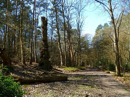
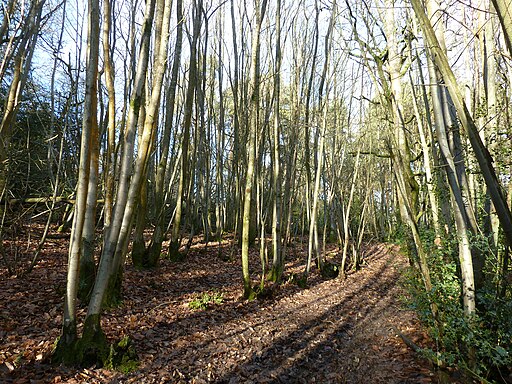
![]() This National Trust owned hill is one of the high points of Surrey and a great place to stretch your legs. The area is covered with attractive heathland and woodland with fantastic views from the hill top. The woodland includes oak, rowan, birch and pine with birds such as Nightingales, siskin and brambling to look out for on the way.
This National Trust owned hill is one of the high points of Surrey and a great place to stretch your legs. The area is covered with attractive heathland and woodland with fantastic views from the hill top. The woodland includes oak, rowan, birch and pine with birds such as Nightingales, siskin and brambling to look out for on the way.
This walk starts at the National Trust car park and follows the Octavia Hill trail up to the 179 m (587 ft) summit. Here you will find a stone seat memorial to Octavia Hill, one of the founders of the National Trust. You can stop and enjoy the wonderful views towards the South Downs and the nearby Black Down. After taking in the views you descend on different paths to the car park.
You can easily extend your walk by continuing south from Hydon's Ball to the Greensand Way which runs through nearby Hambledon.
You could also visit the splendid Winkworth Arboretum from the same car park.
Follow the footpaths north east through Busbridge Woods and the Juniper Valley for just over a mile and you will arrive at the arboretum. The woods have good footpaths, landscaped lakes and over 1,000 different shrubs and trees. Our Hambledon Walk starts from the nearby village and visits both the heath and the arboretum.
Postcode
GU8 4DJ - Please note: Postcode may be approximate for some rural locationsPlease click here for more information
Hydon's Ball and Hydon Heath Ordnance Survey Map  - view and print off detailed OS map
Hydon's Ball and Hydon Heath Open Street Map  - view and print off detailed map
Hydon's Ball and Hydon Heath OS Map  - Mobile GPS OS Map with Location tracking
Hydon's Ball and Hydon Heath Open Street Map  - Mobile GPS Map with Location tracking
Dog Walking
The woodland and hills are ideal for a dog walk. You will probably meet other owners on a fine day.
Further Information and Other Local Ideas
Head a few miles south west from the site and you could visit the noteworthy village of Chiddingfold. Here you'll find a village green, a beautiful landscaped open garden and one of the oldest pubs in England.
Just south of Black Down there's the worthy village of Lurgashall to explore. The picturesque settlement includes a pretty village green, a quintessentially English cricket pitch, a millpond, a historic Saxon church and a number of historic timber framed properties to admire.
In nearby Hascombe you can enjoy a climb to Hascombe Hill. Here you will find an ancient Iron Age Hillfort and a photogenic stone circle built by the Megalithic Order of Druids in 1995/97.
You can find out more about the life of Octavia Hill on the circular Octavia Hill Centenary Walk.
For more walking ideas in the area see the Surrey Hills Walks and Surrey Walks pages.
Cycle Routes and Walking Routes Nearby
Photos
Bridleway on Hydon Heath. Here the bridleway is close to the car park. The minor road ahead links Hydestile and Hascombe.


