Ingleby Greenhow Walks
![]()
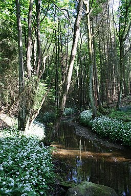
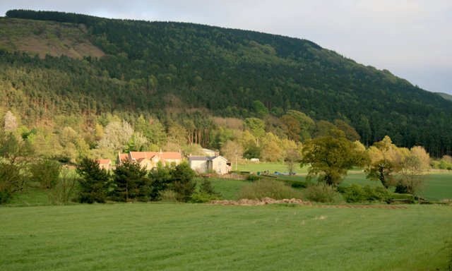
![]() This pretty little village is located in a nice spot on the edge of the North York Moors National Park. For walkers there's some attractive local woodland and hill climbs with wonderful views over the moors to enjoy.
This pretty little village is located in a nice spot on the edge of the North York Moors National Park. For walkers there's some attractive local woodland and hill climbs with wonderful views over the moors to enjoy.
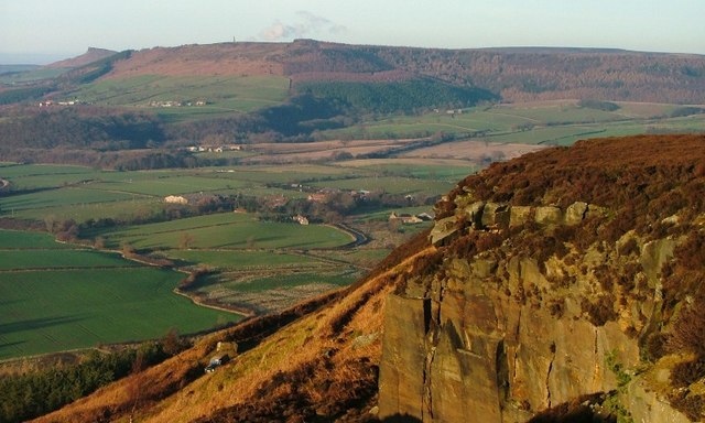
This circular walk from the village takes you up onto Battersby Moor and Ingleby Moor to the east of the settlement. Here you visit Ingleby Bank, the Otter Hills, Turkey Nab and Tidy Brown Hill where there are some fine views over the countryside to Captain Cook's Monument. The route then descends west to Ingleby Beck and Ingleby Manor before returning to the village.
Postcode
TS9 6LL - Please note: Postcode may be approximate for some rural locationsIngleby Greenhow Ordnance Survey Map  - view and print off detailed OS map
Ingleby Greenhow Open Street Map  - view and print off detailed map
Ingleby Greenhow OS Map  - Mobile GPS OS Map with Location tracking
Ingleby Greenhow Open Street Map  - Mobile GPS Map with Location tracking
Pubs/Cafes
Back in the village head to the Dudley Arms for some post walk refreshment. The pub is set in a 17th Century coaching inn and includes a restaurant with an unusual Tudor style design, together with a cosy Bistro which exudes a warm welcome. You can find them at postcode TS9 6LL for your sat navs.
Further Information and Other Local Ideas
Head north and you could pick up the Cleveland Way Circular Walk from Great Ayton to take you to two of the highlights of the area. On the route you'll visit Captain Cook's Monument before a climb to the wonderful Roseberry Topping. The popular Guisborough Forest and Walkway is also not far away.
To the south westthere's the fascinating ancient sites at the Lord Stones and the Wainstones. The climb to Carlton Bank near Carlton in Cleveland is also located in this area.
For more walking ideas in the area see the North York Moors Walks page.


