John Musgrave Heritage Trail
![]()
![]() This long distance walk through South Devon follows the John Musgrave Heritage Trail from Maidencombe to Brixham.
This long distance walk through South Devon follows the John Musgrave Heritage Trail from Maidencombe to Brixham.
The route was created in memory of John Musgrave, a keen walker and former chairman of the South Devon Ramblers.
The walk is well signposted and includes information boards where you can learn all about the interesting history of the area.
You start off on the coast at the little village of Maidencombe just south of Shaldon and north of Torquay. The trail then heads through Watcombe, Kingskerswell and Cockington on the edge of Torbay. Here you can explore Cockington Country Park where there's hundreds of acres of parkland with ornamental lakes, woodlands and formal gardens.
You continue west to Totnes, passing the historic Berry Pomeroy Castle on the way. Here the route turns south following a section of the Dart Valley Trail along the River Dart towards Ashprington, Cornworthy and Dittisham. A ferry will take you to opposite side of the river before heading east through the countryside to finish on the coast at Brixham. Here you can extend the walk to visit the nearby Berry Head Country Park where there are some splendid sea views.
John Musgrave Heritage Trail Ordnance Survey Map  - view and print off detailed OS map
John Musgrave Heritage Trail Open Street Map  - view and print off detailed map
*New* - Walks and Cycle Routes Near Me Map - Waymarked Routes and Mountain Bike Trails>>
John Musgrave Heritage Trail OS Map  - Mobile GPS OS Map with Location tracking
John Musgrave Heritage Trail Open Street Map  - Mobile GPS Map with Location tracking
Pubs/Cafes
At the start/end of the walk there's the noteworthy Thatched Tavern in Maidencombe. The historic inn dates back to the 17th century and is set in a low-ceilinged picture postcard thatched house. Inside there's a cosy interior with a log fire for winter days. Outside there's the tranquil landscaped gardens to enjoy on warmer days. You can find them on Steep Hill at postcode TQ1 4TS for your sat navs.
The Maltsters in Tuckenhay is a nice place for a pit stop on route. The 18th century pub is located in a lovely riverside spot with fine views over the wide quay. The pub featured in The Times ‘Best 50 Places to Eat Al Fresco’ and was described by The Independent as ‘One of Britain’s Best Riverside Locations’. The pub was once owned by the famous TV chef Keith Floyd. They serve fine food and also provide good quality accommodation.
The little hamlet is very pretty with a picturesque old mill and waterside trails along the Bow Creek, one of the River Dart tributaries. Very near to the village there's also the Sharpham Estate, a Grade I listed Palladian villa with parkland, gardens and woodland. The estate is now run as a mindfulness retreat but is open to the public on certain days.
Cycle Routes and Walking Routes Nearby
Photos
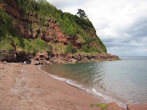
John Musgrave Heritage Trail at Watcombe. This photograph shows the trail from Watcombe Beach car park, heading North towards Maidencombe.
Bow Creek. A footpath, followed by the Dart Valley Way and the John Musgrave Heritage Trail, runs for over a kilometre beside the creek east of Tuckenhay (the village in the background), but from only here eastwards is it possible to actually reach the water's edge, with one stretch of path being submerged at high tides.
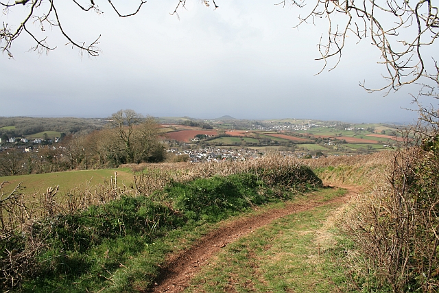
Aptor. Looking across the valley from the footpath which is part of the Heritage trail. Aptor is the name shown on the map for this farm.
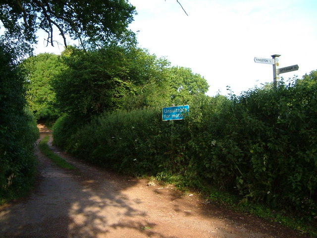
Barberry Cross. A T junction in the Barberry Water valley near East Cornworthy, although, as the sign points out, you would be unwise to try driving straight on in most vehicles. That's Broadridge Lane, used by the Dart Valley Trail and the Heritage Trail and leading to Barberry Water Bridge and Tideford.
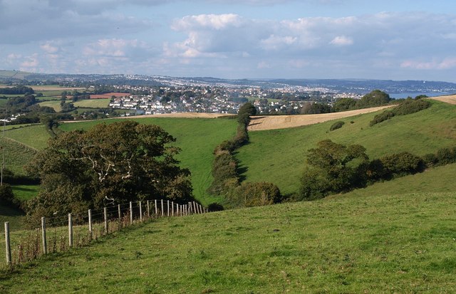
Church Way. A dog-leg near Kerswell Hill in this unsurfaced public road between Kingskerswell and Coffinswell. This is one of many such roads in Devon to escape being tarred in the early 1900s, but just like any other road, there are manhole covers at intervals for access to services buried in the subsoil.


