Ketteringham Hall Walks
![]()
![]() Ketteringham Hall is located in the Norfolk village of Ketteringham, a few miles south west of Norwich.
Ketteringham Hall is located in the Norfolk village of Ketteringham, a few miles south west of Norwich.
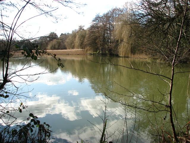
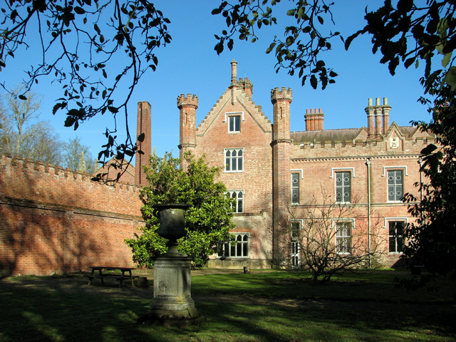
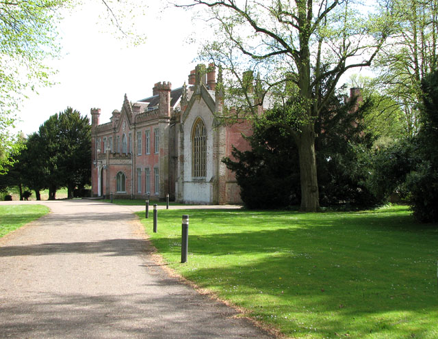
The hall is generally not open to the public but there are bluebell walk days in May where you can explore the beautiful grounds and gardens. Here you can enjoy the Victorian walled gardens, peaceful woodland, wide lawns and the pretty lake that surround the Grade II listed mansion. There is also the tea room which gives access to the grounds during their opening hours. See the link below in the pubs/cafes section for more details.
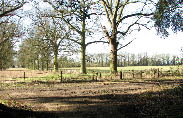
There's also public footpaths running up to the hall from the village, taking you through woodland to St Peter's church. These can be accessed all year round and provide a view of the entrance to the estate. In the winter you can see snowdrops in the woods and bluebells in the spring. There's also some lovely surrounding countryside to enjoy here as well.
You can continue your walking by picking up the Tas Valley Way. Head east and you could visit Swardeston and Mulbarton with its pretty village green and historic church. The Hethersett and Swardeston Country Walk can also be picked up in this area.
Postcode
NR18 9RS - Please note: Postcode may be approximate for some rural locationsPlease click here for more information
Ketteringham Hall Ordnance Survey Map  - view and print off detailed OS map
Ketteringham Hall Open Street Map  - view and print off detailed map
Ketteringham Hall OS Map  - Mobile GPS OS Map with Location tracking
Ketteringham Hall Open Street Map  - Mobile GPS Map with Location tracking
Walks near Ketteringham Hall
- Mulbarton - This Norfolk based village is located just south of Norwich
- Norwich Riverside Walk - This circular walk around the city centre of Norwich follows the lovely riverside path along the River Wensum
- Tas Valley Way - This 25 mile river walk runs from Cringleford, near Norwich, to Attleborough, visiting a series of pretty villages with historic churches along the way.
- Hethersett and Swardeston Country Walk - This village near Norwich has some nice surrounding countryside to explore on a number of footpaths
- Wymondham Tiffey Valley Walk - This walk follows footpaths along the River Tiffey in the Norfolk town of Wymondham.
- Ketts Country Walk - Follow Kett's Country Walk from Cringleford to Wymondham on this splendid walk through Norfolk
- Attleborough - This Norfolk based town has some nice trails to follow through the surrounding valley of the River Tas
- Whitlingham Country Park - Enjoy a peaceful cycle or walk around the lovely Whitlingham Country Park on the outskirts of Norwich
- Caistor St Edmund - This historical circular walk explores the Roman town of Caistor St Edmund in Norfolk
- Wherryman's Way - This walk follows the River Yare between Norwich and Great Yarmouth through the Norfolk Broads.
- Shotesham - This south Norfolk village is located just a few miles to the south of the city of Norwich in the River Tas Valley.
- Old Buckenham - This Norfolk based village sits just to the south of Attleborough on the popular Tas Valley Way walk
- Cringleford - This Norfolk based village is located on the outskirts of Norwich just south of the University of East Anglia on the River Yare
- Yare Valley - Follow the River Yare from Bowthorpe to Marston Marsh on this deilghtful riverside walk near Norwich
- Marston Marshes - This pretty nature reserve is located on the River Yare near Cringleford and Norwich.
Pubs/Cafes
The Orangery Tea room is located within the grounds of the hall. Here you can enjoy a delicious afternoon tea in a beautiful setting.
Dog Walking
Dogs are allowed in the tea room and grounds on leads. Water and dog treats are also available in the tea room.


