Kingshouse to Kinlochleven Walk
8.1 miles (13 km)
![]()
![]() This route takes you along a section of the West Highland Way from the hotel at Kingshouse to Kinlochleven on Loch Leven.
This route takes you along a section of the West Highland Way from the hotel at Kingshouse to Kinlochleven on Loch Leven.
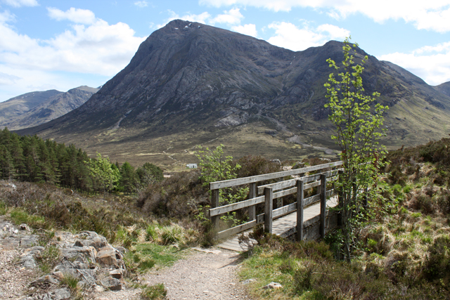
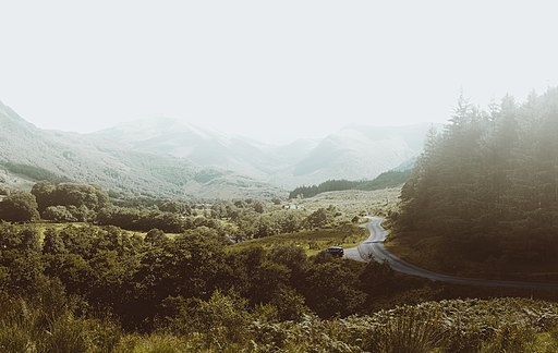
It's about an 8 mile walk with some fairly challenging climbs on the way. From the high points there are excellent views of the stunning scenery of Glen Etive and the Glencoe valley.
To extend the walk pick up the final leg of the journey on the Kinlochleven to Fort William Walk. This will take you all the way to Fort William where the West Highland Way finishes.
At the southern end you can link up with the previous leg of the journey on the Bridge of Orchy to Kingshouse Walk.
Kingshouse to Kinlochleven Ordnance Survey Map  - view and print off detailed OS map
Kingshouse to Kinlochleven Open Street Map  - view and print off detailed map
Kingshouse to Kinlochleven OS Map  - Mobile GPS OS Map with Location tracking
Kingshouse to Kinlochleven Open Street Map  - Mobile GPS Map with Location tracking
Cycle Routes and Walking Routes Nearby
Photos
The Devil's Staircase. Trailbikes struggle up the Devil's Staircase section of the West Highland Way on a wet October day.


