GPS Cycle and Walking Routescycle iconwalk icon

Kinlochleven to Fort William Walk

14.1 miles (22.7 km)

Ordnance Survey Map Open Streetmap This is the final leg of the epic West Highland Way long distance walk, running from Kinlochleven to the trail end at Fort William.
The route runs for distance of just over 14 miles with splendid views over Loch Leven and Glen Coe to enjoy on the way.
You'll also pass the secluded Lochan Lunn Da Bhra before a woodland section through the Nevis Forest at the foot of Ben Nevis.
For the previous leg of the journey see the Kingshouse to Kinlochleven Walk page.

Kinlochleven to Fort William OS Map Ordnance survey map - Mobile GPS OS Map with Location tracking

Kinlochleven to Fort William Open Street Map Open Streetmap - Mobile GPS Map with Location tracking

Photos

The River Leven at Kinlochleven. - geograph.org.uk - 2445969

The River Leven at Kinlochleven.

Loch Leven - geograph.org.uk - 2677369

Loch Leven

West Highland Way the last lap - geograph.org.uk - 1817959

West Highland Way the last lap

West Highland Way towards Fort William - geograph.org.uk - 1309367

West Highland Way towards Fort William. Allt Nathrach to the left, just below Coire a Bhutha

Bridge on West Highland Way, towards Fort William - geograph.org.uk - 1309375

Fort William Bridge over unnamed stream draining into Allt Nathrach to left.

West Highland Way at Tigh-na-Sleubhaich - geograph.org.uk - 3913141

West Highland Way at Tigh-na-Sleubhaich

Lochan Lunn Da Bhra - geograph.org.uk - 228630

Lochan Lunn Da Bhra. Seen from the minor road leading to Lundavra Farm.

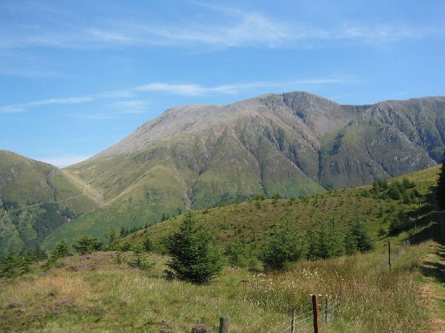
Ben Nevis - geograph.org.uk - 22231

Ben Nevis near Fort Wiliiam

Video

GPS Files

GPX File

Kinlochleven to Fort William.gpx (On Desktop:Right Click>Save As. On Ipad/Iphone:Click and hold>Download Linked File)