Lamlash to Brodick Walk
![]()
![]() This walk follows a popular section of the Arran Coastal Way from Lamlash To Brodick on the Isle of Arran.
This walk follows a popular section of the Arran Coastal Way from Lamlash To Brodick on the Isle of Arran.
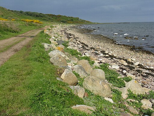
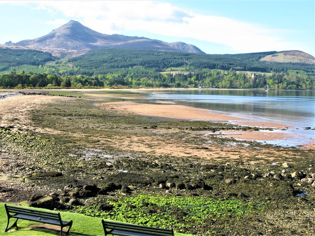
The walk runs for just under 6 miles along a fine coastal trail with tremendous views over the Firth of Clyde and Holy Island. There's also lovely beaches and two delightful villages to explore.
You can extend the walk by continuing north to visit the historic Brodick Castle and Country Park.
The Lamlash to Whiting Bay Walk will take you south through woodland passing the lovely Glenashdale Falls on the way.
Lamlash to Brodick Ordnance Survey Map  - view and print off detailed OS map
Lamlash to Brodick Open Street Map  - view and print off detailed map
Lamlash to Brodick OS Map  - Mobile GPS OS Map with Location tracking
Lamlash to Brodick Open Street Map  - Mobile GPS Map with Location tracking
Further Information and Other Local Ideas
The Glen Rosa Waterfall Walk starts from the car park on the western side of the Brodick Castle grounds. This will take you along the delightful Glenrosa Water with its picturesque waterfalls and stunning views.
Cycle Routes and Walking Routes Nearby
Photos
Lamlash Bay, Lamlash, Arran. Lamlash is the seat of Arran's local government offices, and is also the location of the island's police station, secondary school and hospital. In common with the rest of the island, the village's main industry is tourism and the public sector is also an important employer. Lamlash has an RNLI Lifeboat station with a B class Atlantic 75 lifeboat, covering the inshore waters around the coast of Arran, and in summer, there is a regular ferry service from Lamlash harbour to Holy Isle. The village has several buildings of historical interest, including Hamilton Terrace, which consists of two rows of single storey-and-attic cottages on the Lamlash seafront, arranged in pairs.
This photo was taken on a gloriously sunny day on Arran. Standing above Clauchlands Point, looking down onto Hamilton Island. To the right of the photo is a Second World War look-out post - Lamlash Bay was a major Naval Harbour at that time. In the background is the beautiful Holy Island (in the foreground is the lovely Skipper!). Holy island has a long history as a sacred site, with a spring or holy well held to have healing properties, the hermit cave of 6th century monk St Molaise, and evidence of a 13th-century monastery. An old Gaelic name for the island was Eilean MoLaise, Molaise's Island; this is the origin (via Elmolaise and Limolas) of "Lamlash", the name of the village on Arran that faces Holy Island.
Brodick Harbour. The harbour receives the main ferry between Arran and the mainland via Ardrossan. Brodick Castle is a former residence of the Dukes of Hamilton. Brodick is one of the largest villages on the island and is seen as the main hub due to the ferry terminal which connects the island to the mainland. It is host to many homes, hotels and shops, the health centre, nursing home, heritage museum, tourist information centre, Brodick Castle, public beach, park and an 18-hole golf course.


