Glenashdale Falls Walk
![]()
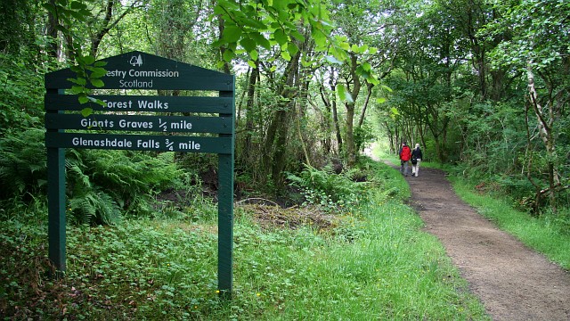
![]() This walk takes you to Eas a' Chrannaig or Glenashdale Falls on the Isle of Arran.
This walk takes you to Eas a' Chrannaig or Glenashdale Falls on the Isle of Arran.
You can start the walk in the coastal village of Whiting Bay. Head west from here and you can pick up a footpath along the Glenashdale Burn to the falls. It's just over a mile walk through peaceful woodland to the photogenic falls from Ashdale Bridge. Here you can admire the scene from above from the viewing platforms before returning on the same path.
The Arran Coastal Way passes the site so you could pick this up to extend your walk if you have time. See the Lamlash to Whiting Bay Walk page for more details.
Glenashdale Falls Ordnance Survey Map  - view and print off detailed OS map
Glenashdale Falls Open Street Map  - view and print off detailed map
*New* - Walks and Cycle Routes Near Me Map - Waymarked Routes and Mountain Bike Trails>>
Glenashdale Falls OS Map  - Mobile GPS OS Map with Location tracking
Glenashdale Falls Open Street Map  - Mobile GPS Map with Location tracking
Further Information and Other Local Ideas
To continue your walking in the area head north along the coast towards Brodick where you can visit the historic Brodick Castle and climb Goatfell for fabulous views over the island.
The Glen Rosa Waterfall Walk starts from the car park on the western side of the Brodick Castle grounds. This will take you along the delightful Glenrosa Water with its picturesque waterfalls and stunning views.


