Lamlash to Whiting Bay Walk
![]()
![]() This walk follows a section of the Arran Coastal Way from Lamlash to Whiting Bay.
This walk follows a section of the Arran Coastal Way from Lamlash to Whiting Bay.
The route runs mostly along the coastal path, passing Kingcross Point and Knockenkelly on the way. There are some wonderful views out to Holy Island and across the bay to enjoy for the duration of the walk. There is an alternative inland path which you can follow through woodland to the lovely Glenashdale Falls if you would like to turn it into a circular walk.
To continue your walking along the coast path try the Lamlash to Brodick Walk which will take you to Brodick with its historic castle and ferry harbour.
Lamlash to Whiting Bay Ordnance Survey Map  - view and print off detailed OS map
Lamlash to Whiting Bay Open Street Map  - view and print off detailed map
Lamlash to Whiting Bay OS Map  - Mobile GPS OS Map with Location tracking
Lamlash to Whiting Bay Open Street Map  - Mobile GPS Map with Location tracking
Cycle Routes and Walking Routes Nearby
Photos
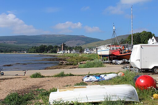
Whiting Bay, Arran. In the late 1950s the steamer services to Arran from the mainland stopped calling in at Whiting Bay and the service changed to a car ferry calling only at Brodick from 1957. This led to the fortunes of Whiting Bay waning and the venerable steamer pier shut in the early 1960s. The village still has a modest pier situated on the shore close to the line of tiny shops in the centre of the village with their rears to the water. Many of the grander villas have been converted into tourist amenities such as hotels, guesthouses and restaurants and the village has a large proportion of such accommodation on the island


