Lane End Walks
![]()
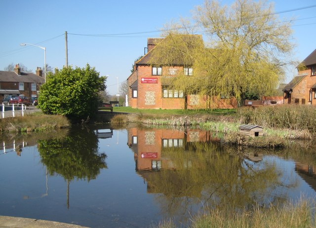
![]() This Buckinghamshire village is located just west of High Wycombe in the Chiltern Hills.
This Buckinghamshire village is located just west of High Wycombe in the Chiltern Hills.
Local walking highlights include the splendid West Wycombe Park which lies just to the north. Here you'll find a fine Palladian house with 45 acres of landscaped gardens to explore. The grounds include a lovely large lake, views of the River Wyre, woodland paths and sweeping lawns. Near here there's more beautiful parkland and history at the Victorian Hughenden Park.
This walk from the village takes you west through the woods and countryside to visit the neighbouring villages of Frieth, Fingest and Turville where you can visit the famous Chitty Chitty Bang Bang Windmill.
Lane End Ordnance Survey Map  - view and print off detailed OS map
Lane End Open Street Map  - view and print off detailed map
Lane End OS Map  - Mobile GPS OS Map with Location tracking
Lane End Open Street Map  - Mobile GPS Map with Location tracking
Walks near Lane End
- High Wycombe - This large Buckinghamishire town is a great place to go for a country walk with some several attractive woodland areas, views of the Chiltern Hills and the wonderful Hughenden Park to enjoy
- Hughenden Manor Park - The 1,500 acres of parkland surrounding the red brick Victorian mansion of Hughenden Manor is great for a short walk in lovely surroundings
- West Wycombe Park - Explore the beautiful estate surrounding West Wycombe House on this walk in the Chilterns AONB
- Bradenham Woods - This circular walk explores the woodland and countryside surrounding the pretty village of Bradenham in the Chilterns
- Downley Common - This walk visits Downley Common next to the Buckinghamshire village of Downley in the Chilterns near High Wycombe.
- Princes Risborough - This Buckinghamshire based town is in a great location for exploring the beautiful Chiltern Hills AONB.
This walk from the town's train station takes you to some of the highlights of the area - Great Missenden - Enjoy a circular walk around the village of Great Missenden in the Chilterns
- Penn Wood - This walk visits Penn Wood near High Wycombe and Amersham in Buckinghamshire.
- Turville - This circular walk explores the countryside surrounding the Chilterns village of Turville
- Fingest - This pretty little Buckinghamshire village is located in the Chilterns near Henley on Thames
- Chitty Chitty Bang Bang Windmill - This short circular walk visits Cobstone Windmill in Turville, Buckinghamshire
- Ibstone - This Buckinghamshire based village is located in a pleasant rural spot in the Chiltern Hills, on the border with Oxfordshire
- Greys Court - This walk explores the area around the National Trust's Greys Court in Henley-on-Thames, Oxfordshire.
- Henley via Stonor Circular Walk - A circular walk from Henley visiting Stonor, Middle Assendon and the National Trust's Greys Court
- Henley-on-Thames - The popular market town of Henley-on-Thames has a number of excellent waymarked trails to try
- Thames Path - Starting at the Source of the Thames at Thames Head in Gloucestershire, follow the iconic river through beautiful countryside and historic towns to the city of London.
- Frieth - This Buckinghamshire based village has some nice walks into the surrounding countryside of the Chiltern Hills.
- Hambleden - This pretty Buckinghamshire village is nicely positioned for exploring the Chiltern Hills on foot
Pubs/Cafes
Back in the village you can enjoy some post walk refreshments at the Grouse & Ale. The award winning gastropub serves quality dishes and has a good selection of drinks. You can find them on the High Street at postcode HP14 3JG for your sat navs.
Dog Walking
The Hambleden Valley is a popular place for walkers and birdwatchers who come to the area to look out for the red kite.
Photos
Bales, Lane End. The wheat here had been harvested during the previous week. Finning Wood is in the background.


