Levington Walks
![]()
![]() This pretty East Suffolk based village is in an ideal spot for easy waterside walking. There's two waymarked trails, riverside footpaths and pockets of woodland to explore around the settlement. There's also an interesting 16th century church and a fine 14th century pub to investigate on the way.
This pretty East Suffolk based village is in an ideal spot for easy waterside walking. There's two waymarked trails, riverside footpaths and pockets of woodland to explore around the settlement. There's also an interesting 16th century church and a fine 14th century pub to investigate on the way.
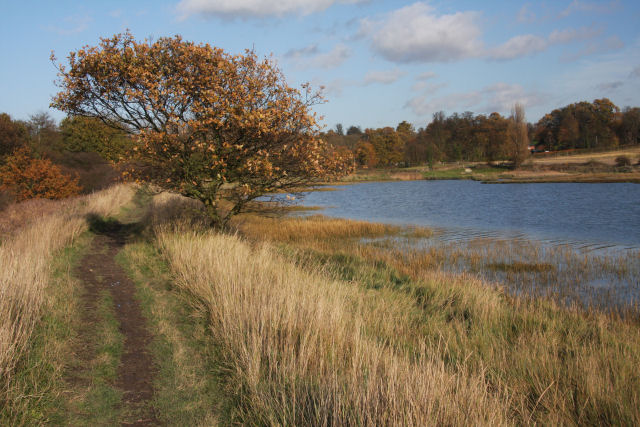
This circular walk from the village visits the lovely Levington Creek and Nacton Shores on the River Orwell. It's a delightful place for a stroll with views across the river to Chelmondiston on the opposite side.
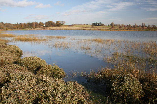
The walk starts in the village where you can pick up the Suffolk Coast Path and follow the waymarked trail south east towards Levington Creek. The pretty creek is a good spot for birdwatching with several species of water loving bird visiting the area.
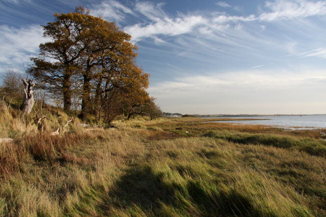
After passing along the creek you reach the river where you follow a trail west along Nacton Shore. There's a nice beach and the Levington Lagoon Nature Reserve on this stretch of the walk.
After leaving the shore you head back to the village through Broke Hall Woods, following the Levington Road for the last stretch.
Levington Ordnance Survey Map  - view and print off detailed OS map
Levington Open Street Map  - view and print off detailed map
*New* - Walks and Cycle Routes Near Me Map - Waymarked Routes and Mountain Bike Trails>>
Levington OS Map  - Mobile GPS OS Map with Location tracking
Levington Open Street Map  - Mobile GPS Map with Location tracking
Pubs/Cafes
Back in the village head to The Ship for some post walk refreshment. It's an historic pub of some note, dating all the way back to the 14th century. The pub sits in a lovely spot, overlooking the Orwell River and next to the 16th century St Peter's Church. There's a charming interior with low ceilings and original beams as well as the warmth from the log burner. There's also pictures of sailing ships on the walls to add to the nautical theme. If the weather is good there's a decent outdoor area to relax in. You can find the picturesque thatched inn on Church Lane with a postcode of IP10 0LQ for your sat navs.
Dog Walking
The area makes for a pleasant walk with your dog. The Ship Inn mentioned above is also very dog friendly with treats provided for your hungry friend.
Further Information and Other Local Ideas
You could extend the walk by heading north from the village to the nearby Decoy Wood and Hobbins Walk where there's some nice woodland trails and pretty ponds.
Part of this route uses the Stour and Orwell Walk. You could pick up this long distance footpath and head west to visit Orwell Country Park or east to the Trimley Marshes Nature Reserve where there are excellent wildlife spotting opportunities.
On the opposite side of the river there's the beautiful Shotley Peninsula to explore.
For more walking ideas in the area see the Suffolk Walks page.
Cycle Routes and Walking Routes Nearby
Photos
Levington - church, pub and cottage. This view from the green in front of the church takes in, from left to right, St Peter's Church, the Ship Inn and Hill Cottage.
St. Peter's; the parish church of the village. This is a lovely, well cared for church that stands in a pleasant setting next to an attractive pub. The church is mainly 16th century and replaced a much earlier one that stood a few hundred yards to the east.
Levington Creek. At high tide, this area is full of water. But when the tide is low, the creek dries out almost completely. The creek is a branch of the River Orwell and was once used by barges for loading goods from a quay at the head of the creek.


