Little Gaddesden and Ashridge House Walk
![]()
![]() This pretty Hertfordshire based village sits in a delightful location in a National Trust owned area of outstanding natural beauty (AONB). There's some interesting history too with a 15th century church and a fine old mansion estate to explore.
This pretty Hertfordshire based village sits in a delightful location in a National Trust owned area of outstanding natural beauty (AONB). There's some interesting history too with a 15th century church and a fine old mansion estate to explore.
This circular walk from the village visits the Ashridge House Estate before heading to the nearby Hudnall Common.
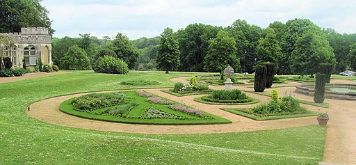
The walk starts in the village and heads north west and then west to enter Ashridge Park. Follow footpaths past the golf course to Ashridge House. The house was once a royal residence to Henry VIII and Princess Elizabeth I. It's Grade I listed and includes 190 acres of beautiful landscaped gardens and some fine parkland trails. The Golden Valley section to the north-east of the house was created by famous landscape gardener Capability Brown in the 18th century. At Christmas there is also The Enchanted Woodland Walk where you can enjoy spectacular illuminations in the gardens.
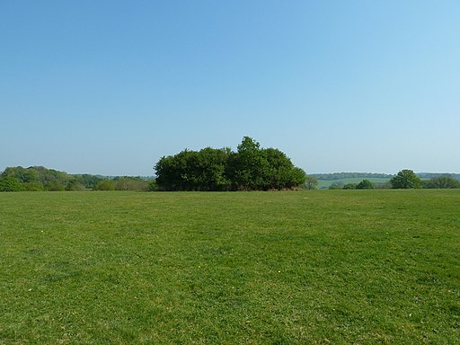
The route then continues north east to Hudnall where you can enjoy some pleasant trails across Hudnall Common. Public footpaths then take you south west to return to Little Gaddesden.
You can pick up the Ashridge Boundary Trail to continue your walking in the area. The long distance trail visits several of the estate's highlights including the popular climb to Ivinghoe Beacon. Just a mile to the north west there's Dockey Wood where you'll find peaceful woodland with carpets of bluebells in the spring months.
Little Gaddesden Ordnance Survey Map  - view and print off detailed OS map
Little Gaddesden Open Street Map  - view and print off detailed map
Little Gaddesden OS Map  - Mobile GPS OS Map with Location tracking
Little Gaddesden Open Street Map  - Mobile GPS Map with Location tracking
Pubs/Cafes
Ashridge House includes the The Bakehouse cafe and a restaurant where you could stop of for some refreshment. For a pub lunch head to the Bridgewater Arms Hotel in the village. They have a good menu and a large garden area to relax in on warner days. You can find them at postcode HP4 1PD for your sat navs.
Further Information and Other Local Ideas
The sister village of Great Gaddesden lies just a few miles to the south east. There's a Grade I listed church and some pleasant trails along the River Gade to be found here.


