Llyn Stwlan Dam Walk
![]()
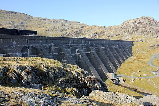
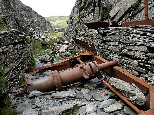
![]() This circular walk takes you to the Llyn Stwlan Reservoir Dam near Tanygrisiau in Gwynedd, north-west Wales. On the route you will also be exposed to a number of photogenic slate mines which dominate the landscape in this scenic area.
This circular walk takes you to the Llyn Stwlan Reservoir Dam near Tanygrisiau in Gwynedd, north-west Wales. On the route you will also be exposed to a number of photogenic slate mines which dominate the landscape in this scenic area.
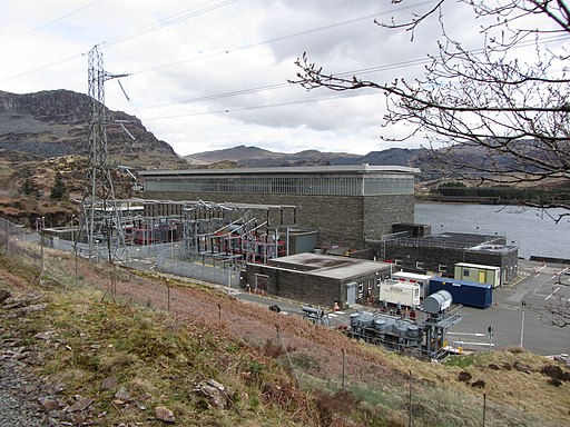
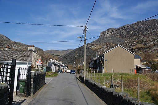
The walk starts from the Tanygrisiau rail station on the heritage Ffestiniog Railway railway. From here you can follow trails south west along the lovely Tanygrisiau Reservoir before coming to the Power Station on the western side of the lake. Here you can link up with the Llyn Stwlan Mine Railway Walk and follow it west to the Stwlan Dam. The dam is an impressive sight and part of the Ffestiniog Power Station, a pumped-storage hydroelectricity scheme.
The trail continues west past the lake to the Moelfryn Quarry before heading north east to take you past Moel-yr-Hydd where there are some wonderful views back down to the lake. You'll then round the Wrsygan Slate Quarry before turning south to follow trails back to Tanygrisiau.
Llyn Stwlan Dam Ordnance Survey Map  - view and print off detailed OS map
Llyn Stwlan Dam Open Street Map  - view and print off detailed map
Llyn Stwlan Dam OS Map  - Mobile GPS OS Map with Location tracking
Llyn Stwlan Dam Open Street Map  - Mobile GPS Map with Location tracking
Further Information and Other Local Ideas
Just to the north east there's more great waterside trails and specatacular views around Llyn Cwmorthin.
The long distance Snowdonia Slate Trail and the Cambrian Way also run through the area.
Cycle Routes and Walking Routes Nearby
Photos
Llyn Stwlan. Enlarged corrie lochan now used, Cruachan style, as a pumped storage reservoir. Offpeak electricity, once generated by Trawsfynydd probably increasingly now by windfarms pumps water up the hill, where its potential energy is stored until required, when the water is let back down the hill.
Looking across Llyn Stwlan to Moelwyn Bach. Moelwyn Slate Quarry is located above the enlarged Llyn Stwlan. It was worked sporadically between the 1820s and 1897, but was connected to the Ffestiniog Railway by a spectacular series of seven inclines, descending some 335 metres (1,099 ft).


