Loch Doon Walks
![]()
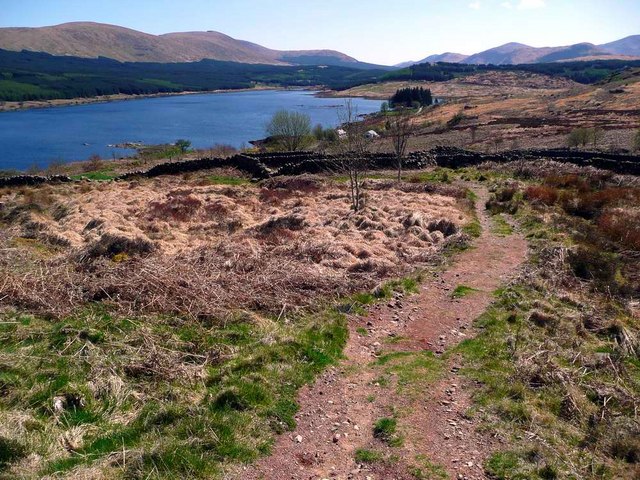
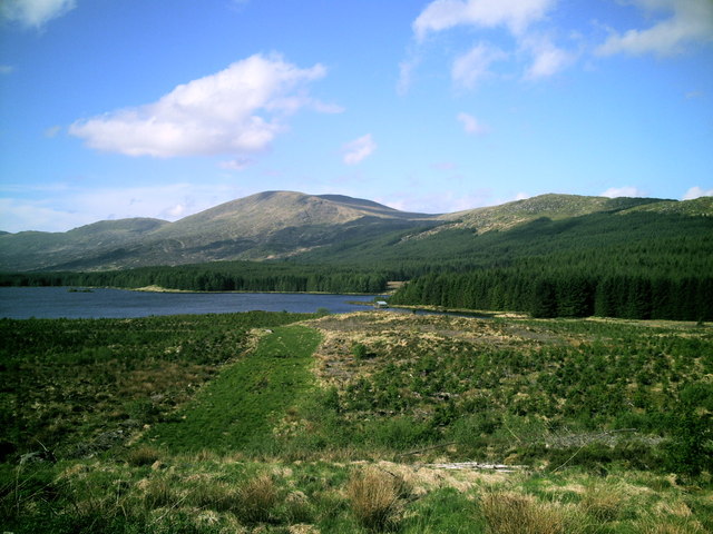
![]() This beautiful loch in Ayrshire includes a ruined castle, forest trails and stunning scenery.
This beautiful loch in Ayrshire includes a ruined castle, forest trails and stunning scenery.
This walk starts at the car park next Loch Doon Castle which dates from the 14th century. It used to reside on an island in the middle of the loch but was moved in the 1930s to its present location, stone by stone. Around here you can pick up the Craiglea Trail which climbs to a nice viewpoint above the loch.
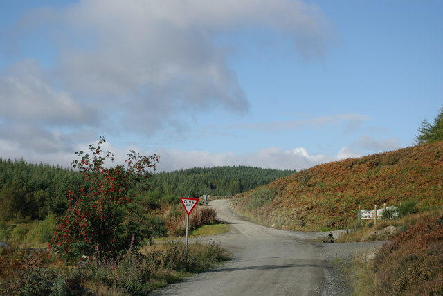
This route follows Carrick Forest Drive west to Loch Riecawr. There's woodland trails branching of the drive with lovely views of the waterways running just to the south of the track. You'll pass Whitespout Linn Waterfall and Loch Gower before coming to Loch Riecawr.
You could extend the walk by continuing along Balloch Lane to Loch Bradan, Loch Skelloch and the pretty Water of Girvan. Around here there's more great cycling and walking trails through the Galloway Forest Park.
Postcode
KA6 7QE - Please note: Postcode may be approximate for some rural locationsLoch Doon Ordnance Survey Map  - view and print off detailed OS map
Loch Doon Open Street Map  - view and print off detailed map
Loch Doon OS Map  - Mobile GPS OS Map with Location tracking
Loch Doon Open Street Map  - Mobile GPS Map with Location tracking
Further Information and Other Local Ideas
The loch is part of the wider Galloway Forest Park so there's plenty of options for continuing your walking. The route above starts from the Kirroughtree Visitor Centre which is the gateway to the park. There's good facilites here with a cafe and bike shop. It's located a few miles south of the loch and a great place for walkers or mountain bikers.
To the south east there's the expansive Clatteringshaws Loch. The freshwater reservoir includes the historic Bruce's Stone and a visitor centre. A shared cycling and walking trail heads south from here to the nearby Loch Grannoch and the Big Water of Fleet Viaduct. The viaduct is a local historic highlight and provides wonderful views over the area from the top. You can also explore the wonderful wild landscape of the Cairnsmore of Fleet National Nature Reserve in this area.
The epic Southern Upland Way can be picked up at Clatteringshaws and followed west to visit Loch Trool as well. Here you can enjoy a popular circular walk around the loch where you'll pass the site of the Battle of Glen Trool in 1307.
To the north east you'll find the remote and peaceful Afton Reservoir near Cumnock.


