Galloway Forest Park Walks and Mtb Trails
![]()
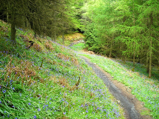
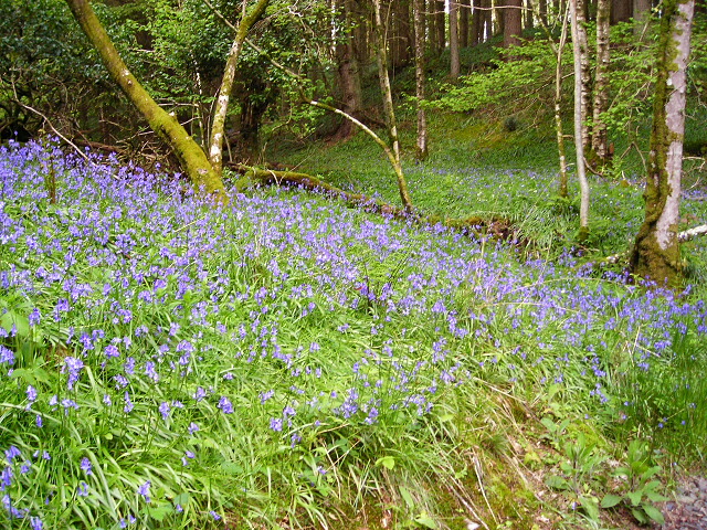
![]() This large forest park covers an expansive area in Dumfries and Galloway. It is claimed to be the largest forest in the UK. The park is great for walking and mountain biking with umpteen trails to choose from.
This large forest park covers an expansive area in Dumfries and Galloway. It is claimed to be the largest forest in the UK. The park is great for walking and mountain biking with umpteen trails to choose from.
This cycling route follows the Twister mtb trail through the Kiroughtree section of the park. You can see the cycle trails in blue on the Open Street Map link below. Walking trails are also marked here with several waymarked paths to try from the visitor centre.
The route starts from the Kirroughtree Visitor Centre which is the gateway to the park. It's located a few miles east of Newton Stewart and includes a bike shop for rental or repairs. From here you can pick up the trail and head west towards Daltamie Hill and Bruntis Loch. You continue past Larg Hill and Doon Hill before returning to the car park.
If you're on foot you can look out for a variety of wildlife including Red Squirrels and woodland birds. There are bird hides on the site as well.
Postcode
DG8 7BE - Please note: Postcode may be approximate for some rural locationsGalloway Forest Park Ordnance Survey Map  - view and print off detailed OS map
Galloway Forest Park Open Street Map  - view and print off detailed map
*New* - Walks and Cycle Routes Near Me Map - Waymarked Routes and Mountain Bike Trails>>
Galloway Forest Park OS Map  - Mobile GPS OS Map with Location tracking
Galloway Forest Park Open Street Map  - Mobile GPS Map with Location tracking
Dog Walking
This area of the park is great for dog walking with miles of trails to try. It's well signed so you can see where the mountain bike trails are. The on site cafe mentioned above is also dog friendly.
Further Information and Other Local Ideas
Head north from this section of the park and you could visit the wonderful Loch Doon. Here you'll find waterside trails and an interesting 14th century castle. Near Loch Doon there's also Loch Bradan, Loch Skelloch and the pretty Water of Girvan to explore.
To the north east there's the expansive Clatteringshaws Loch. The freshwater reservoir includes the historic Bruce's Stone and a visitor centre. A shared cycling and walking trail can be picked up here and followed south to then nearby Loch Grannoch and the Big Water of Fleet Viaduct. The viaduct is a local historic highlight and provides wonderful views over the area from the top. You can also explore the wonderful wild landscape of the Cairnsmore of Fleet National Nature Reserve in this area.
The Southern Upland Way can be followed west from here to visit Loch Trool as well. Here you can enjoy a popular circular walk around the loch where you'll pass the site of the Battle of Glen Trool in 1307.
To the south east is Loch Ken at New Galloway and includes a lovely RSPB Nature Reserve.
To the west is the coast at Stranraer where you can pick up the Loch Ryan Coastal Path. The trail is part of the longer Mull Of Galloway Trail which starts from the southernmost point of Scotland and heads north to the loch.
For cyclists the new Kirkpatrick C2C also passes the park. The epic Coast to Coast route runs across the south of Scotland from Stranraer to Eyemouth.


