Clatteringshaws Loch
![]()
![]() This large freshwater reservoir is part of the wider Galloway Forest Park in Dumfries and Galloway.
This large freshwater reservoir is part of the wider Galloway Forest Park in Dumfries and Galloway.
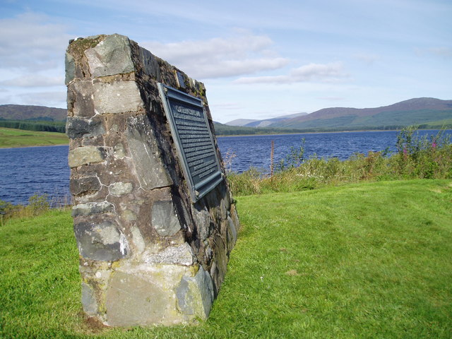
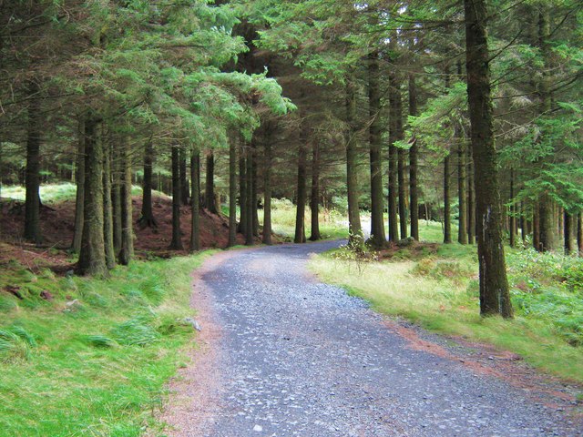
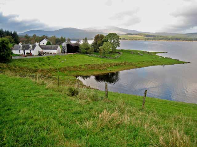
At the eastern side of the loch you'll find good facilities with a visitor centre, cafe and car parking area. Here you can pick up some nice walking trails taking you along the water to the memorial stone and Bruce's Stone. The historical landmark is said to be the spot where Robert the Bruce once rested after battle. There's also lovely views over the water to the surrounding hills and some peaceful woodland trails to enjoy at the site. Keep your eyes peeled for a variety of wildlife including deer and Red Kites.
Postcode
DG7 3SQ - Please note: Postcode may be approximate for some rural locationsPlease click here for more information
Clatteringshaws Loch Ordnance Survey Map  - view and print off detailed OS map
Clatteringshaws Loch Open Street Map  - view and print off detailed map
*New* - Walks and Cycle Routes Near Me Map - Waymarked Routes and Mountain Bike Trails>>
Clatteringshaws Loch OS Map  - Mobile GPS OS Map with Location tracking
Clatteringshaws Loch Open Street Map  - Mobile GPS Map with Location tracking
Pubs/Cafes
There's a good on site cafe selling a range of meals and snacks.
Dog Walking
The loch and surrounded forest are ideal for a dog walk. The cafe mentioned above is also dog friendly.
Further Information and Other Local Ideas
To the north of the water you can pick up the epic Southern Upland Way. The trail could be followed west along the River Dee to Loch Dee and Loch Trool.
Loch Doon is also positioned within the park. Here you'll find waterside trails and an interesting 14th century castle. Near Loch Doon there's also Loch Bradan, Loch Skelloch and the pretty Water of Girvan to explore. Loch Ken is located just to the east at New Galloway and includes a lovely RSPB Nature Reserve.
At the southern end of the loch you can pick up a shared cycling and walking trail and follow it south to visit Loch Grannoch and the Big Water of Fleet Viaduct. The viaduct is a local historic highlight and provides wonderful views over the area from the top. You can also explore the wonderful wild landscape of the Cairnsmore of Fleet National Nature Reserve in this area.
Cycle Routes and Walking Routes Nearby
Photos
Memorial Stone at Clatteringshaws Loch. The plaque commemorates the building of the dam in the 1930's and gives a brief history of the area.
Iron Age Roundhouse reconstruction. The roundhouse is now missing the roof which was present several years ago.
Bruce’'s Stone. A small National Trust (Scotland) site. This stone standing on Moss Raploch is where King Robert the Bruce is said to have rested after defeating the English here in 1307. N.B. There is another Bruce’s Stone at Glen Trool that commemorates the Battle of Trool also in 1307. Here you can visit the splendid Loch Trool. Here you can enjoy a popular circular walk around the loch where you'll pass the stone. This is where Robert the Bruce with a few infantry let 1500 English soldiers with cavalry chase him up this south side of Glen Trool. At this point he had laid an ambush, the rest of his men rolled stones down this hillside to pitch men and horses into the loch, and followed up by attack with archers, so defeating the English.


