Loch Fleet Walk
![]()
![]() This walk visits the wonderful Loch Fleet National Nature Reserve near Golspie and Dornoch.
This walk visits the wonderful Loch Fleet National Nature Reserve near Golspie and Dornoch.
The coastal reserve is a splendid place with nature trails and lots of wildlife to look out for. Habitats on the site include tidal basin, sand dunes, shingle ridges and attractive pine woodland including Balbair Wood and Ferry Wood. The area is great for wildlife with seals, otters and various wildfowl to look out for.
This walk starts from the Mound car park but you could also head to Littleferry where there's a lovely coastal path with sand dunes and sea views. See the video below for more details of this.
You can continue your walking on the Skelbo Forest Walk to the south.
Postcode
IV25 3JD - Please note: Postcode may be approximate for some rural locationsLoch Fleet Ordnance Survey Map  - view and print off detailed OS map
Loch Fleet Open Street Map  - view and print off detailed map
*New* - Walks and Cycle Routes Near Me Map - Waymarked Routes and Mountain Bike Trails>>
Loch Fleet OS Map  - Mobile GPS OS Map with Location tracking
Loch Fleet Open Street Map  - Mobile GPS Map with Location tracking
Further Information and Other Local Ideas
Head east towards Golspie and you could enjoy a climb to Ben Bhraggie. At the top you'll find the Sutherland monument and wonderful views over the area. Just east of here there's also Loch Brora where there's another peaceful waterside trail to try.
Head north west towards Lairg and you could visit another local highlight at the Falls of Shin. The beautiful falls are a great place to see salmon leaping during the late summer months. There's also a decent visitor centre, car park and cafe at the site. Near here you can also visit Loch Shin in Lairg itself.
The John O' Groats trail runs from Brora to Golspie with some splendid views over the Moray Firth. Here you could also visit the historic Dunrobin Castle. The 14th century castle has a fascinating history and some beautiful gardens to explore. The lovely waterfall on the Golspie Big Burn Walk can also be found in this area.
For more walking ideas in the area see the Scottish Highlands Walks page.
Cycle Routes and Walking Routes Nearby
Photos
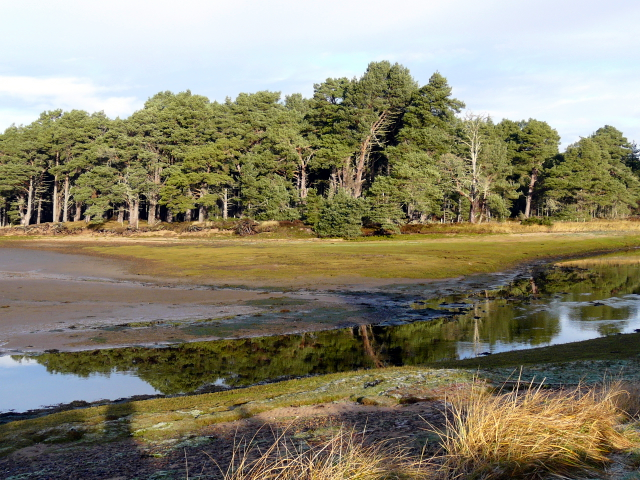
Loch Fleet. Looking from the narrows into the upper part of Loch Fleet. The loch is almost cut off from the sea by a bar of shingle, but it is still tidal, and provides a habitat for birds, seals, otters and crabs. It is a National Nature Reserve.
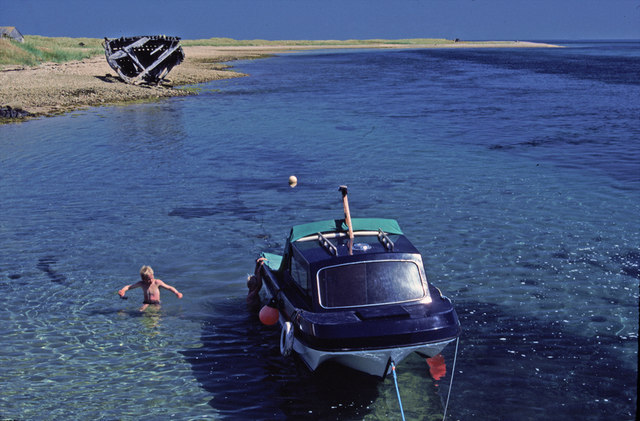
Looking east along the shore of Littleferry towards where Loch Fleet meets the North Sea. Note the wreck on the beach.


