Lossiemouth to Spey Bay Walk
![]()
![]() This walk follows a section of the Moray Coast Trail from Lossiemouth to the Spey Bay Nature Reserve in Kingston on Spey.
This walk follows a section of the Moray Coast Trail from Lossiemouth to the Spey Bay Nature Reserve in Kingston on Spey.
The route runs for just under 8 miles along a fairly flat coastal path.
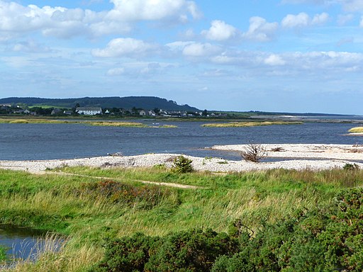
The walk starts at Lossimouth Harbour Marina and heads south to cross over the River Lossie to the beach at Seatown. You then head south east along the beach, passing the sand dunes and Boar's Head Rock. You continue south east to finish at Spey Bay where you will find a wildlife rich nature reserve. The reserve notably includes the largest shingle beach in Scotland and a range of other habitats such as coastal grasslands, brackish saltmarsh and wet woodland. It's a great place to look out for wildfowl and dolphins with butterflies common around the pretty wildflowers in the summer months.
On the eastern side of the reserve you can pick up the long distance Speyside Way and enjoy a walk or cycle along the River Spey. To the west the trail continues to Hopeman and Burghead.
Lossiemouth to Spey Bay Ordnance Survey Map  - view and print off detailed OS map
Lossiemouth to Spey Bay Open Street Map  - view and print off detailed map
Lossiemouth to Spey Bay OS Map  - Mobile GPS OS Map with Location tracking
Lossiemouth to Spey Bay Open Street Map  - Mobile GPS Map with Location tracking
Further Information and Other Local Ideas
The Lossiemouth Coastal and Forest Circular Walk will take you along the beach and the River Lossie before heading into the peaceful local woodland.


