Mendlesham Walks
![]()
![]() This Suffolk village lies a few miles east of Stowmarket and Stowupland.
This Suffolk village lies a few miles east of Stowmarket and Stowupland.
The village is located on the long distance Mid Suffolk Footpath and the Middy Railway Footpath. These can both be seen marked on the Ordnance Survey map below.
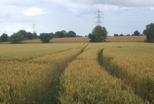
This circular walk uses both these paths to visit the nearby hamlet of Mendlesham Green. Along the way there's nice views of the Suffolk countryside and farmland.
Please scroll down for the full list of walks near and around Mendlesham. The detailed maps below also show a range of footpaths, bridleways and cycle paths in the area.
Postcode
IP14 5SA - Please note: Postcode may be approximate for some rural locationsMendlesham Ordnance Survey Map  - view and print off detailed OS map
Mendlesham Open Street Map  - view and print off detailed map
Mendlesham OS Map  - Mobile GPS OS Map with Location tracking
Mendlesham Open Street Map  - Mobile GPS Map with Location tracking
Walks near Mendlesham
- Stowmarket - Enjoy a walk along the River Gipping on this walk from Stowmarket to Needham Market
- Gipping Valley River Path - Follow the River Gipping from Stowmarket to Ipswich on this pleasant riverside walk
- Mid Suffolk Footpath - This footpath runs from Hoxne to Stowmarket through the Suffolk countryside
- Ipswich - A circular walk around Ipswich with lovely river views and visits to a series of attractive parks
- Bradfield Woods - This National Nature Reserve near Bury St Edmunds is one of the best places in Suffolk for wildlife
- Needham Lake - Enjoy an easy stroll around Needham Lake on this short walk in Needham Market
- Eye - This walk visits the Suffolk market town of Eye
- Coddenham - This walk explores the parkland, countryside and rivers around the Suffolk village of Coddenham
- Thornham Magna - This attractive Suffolk village includes a 14th century church, a fine 15th century pub and wonderful walking trails in the Thornham Hall Estate.
- Haughley Park - The historic Haughley Park is located just west of the Suffolk village of Haughley.
- Stowupland - This Suffolk village lies just to the east of Stowmarket
- Debenham - This ancient Mid Suffolk village is located on the River Deben near Framlingham and Eye.
- Stradbroke - This Mid Suffolk based village has some good public footpaths to follow through the surrounding countryside.
Pubs/Cafes
The King's Head dates back to the 17th century and can be found at postcode IP14 5SA. They serve real ale and are also dog friendly.
Further Information and Other Local Ideas
Just to the east is the neighbouring village of Debenham where there are views of the River Deben and the longest ford in the country.
Photos
Front Street, Mendlesham. The village is known for its large street fair which is held on every May Day bank holiday.
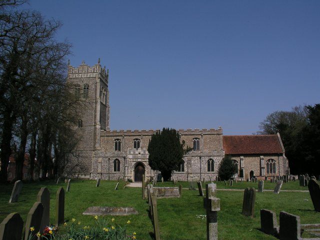
Church of St Mary. There are two churches in the village, a small URC chapel and the grand medieval church of St Mary the Virgin, built at a time when the village had a much larger population, as well as a Baptist chapel in Mendlesham Green.
Farm buildings near Mendlesham Green. These farm buildings are located on Hoggars Road, whilst the view is from Lambert's Lane.


