Stradbroke Walks
![]()
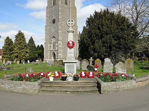
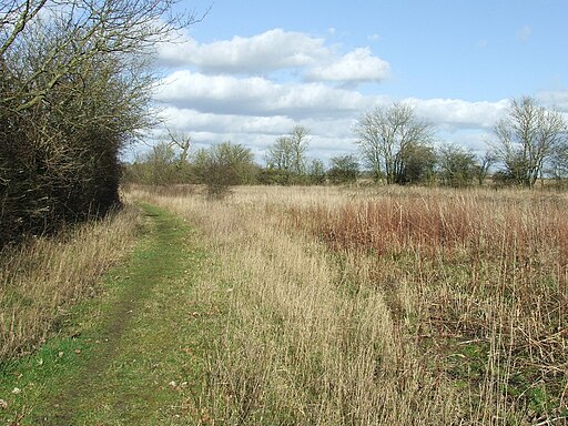
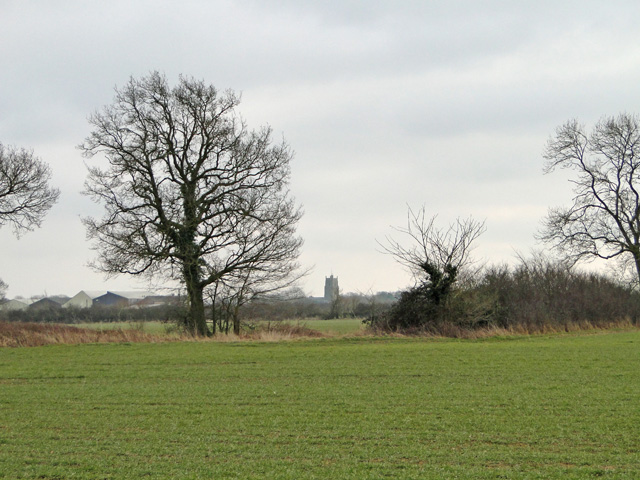
![]() This Mid Suffolk based village has some good public footpaths to follow through the surrounding countryside.
This Mid Suffolk based village has some good public footpaths to follow through the surrounding countryside.
Stradbroke, despite its relatively modest population, holds a significant role as a hub for the surrounding smaller villages and hamlets. This central position provides the village with a range of facilities and services.
In the realm of education, Stradbroke serves as an important center for Mid Suffolk, featuring both a primary school and a high school within its boundaries.
The village boasts two welcoming pubs, several shops, and various local amenities. These include a public library, a community center, a swimming pool, and a gym, catering to the diverse needs and interests of its residents.
For sports and outdoor enthusiasts, Stradbroke offers a playing field suitable for cricket and football, three tennis courts for enthusiasts of the sport, two well-maintained bowling greens, and a fitness track to keep residents active and engaged.
The village is also notable for its extensive network of public footpaths, totaling around 12 miles (19.31 kilometers) in length. These footpaths are maintained by local government, ensuring they remain accessible for leisurely strolls and hiking, with upkeep occurring two or three times annually. This network of footpaths is a valuable resource for those who appreciate the natural beauty of the surrounding countryside.
Please scroll down for the full list of walks near and around Stradbroke. The detailed maps below also show a range of footpaths, bridleways and cycle paths in the area.
Stradbroke Ordnance Survey Map  - view and print off detailed OS map
Stradbroke Open Street Map  - view and print off detailed map
Stradbroke OS Map  - Mobile GPS OS Map with Location tracking
Stradbroke Open Street Map  - Mobile GPS Map with Location tracking
Walks near Stradbroke
- Debenham - This ancient Mid Suffolk village is located on the River Deben near Framlingham and Eye.
- Laxfield - This walk visits the splendidly preserved medieval village of Laxfield in Suffolk.
- Harleston - This town in South Norfolk has some pleasant river trails through the Waveney Valley and an attractive town centre with several Georgian buildings to admire.
- Halesworth - This Suffolk based market town has some nice trails along the Blyth River
- Framlingham Castle - This walk visits the 12th century Framlingham Castle and follows the public footpaths surrounding the attractive Suffolk based market town
- Saxmundham - This Suffolk based market town has some nice trails to try through the valley of the River Fromus
- Blythburgh - This small East Suffolk based village lies on the River Blyth near to Dunwich Forest, the Suffolk Coast National Nature Reserve and the Walberswick Nature Reserve
- Dunwich Forest - This large forest is located in the Suffolk Coasts and Heaths Area of Outstanding Natural Beauty in the village of Dunwich
- Dunwich Heath - This beautiful coastal heathland is a wonderful place for a peaceful circular walk
- Dunwich to Walberswick Walk - This circular walk takes you from Dunwich to Walkberswick on the Suffolk coast
- Southwold to Walberswick - This is a popular walk from Southwold to Walberswick, passing along the coast and the River Blyth
- Suffolk Coast Path - A walk along the beautiful Suffolk coast from Felixstowe to Lowestoft
- Suffolk Coast National Nature Reserve - This delightful coastal nature reserve is situated around the village of Walberswick in the Suffolk Coast and Heaths Area of Outstanding Natural Beauty
- Benacre - This circular walk explores the Benacre National Nature Reserve in the Suffolk Coast and Heaths AONB.
- East Suffolk Line Walks - Follow the 'East Suffolk Line' railway from Ipswich to Lowestoft on this splendid walk through the Suffolk countryside
- Southwold - This lovely circular walk takes you from the coastal town of Southwold to the nearby village of Walberswick in the Suffolk Coast and Heaths Area of Outstanding Natural Beauty
- Dennington - This Suffolk village is located close to Laxfield and Framlingham.
- Mendlesham - This Suffolk village lies a few miles east of Stowmarket and Stowupland.
Further Information and Other Local Ideas
To the east there's the noteworthy village of Laxfield. The historic settlement has a number of traditional thatched cottages and timber-framed houses. There's also a 14th century church and 16th century pub in this attractive village.


