National Forest Way
![]()
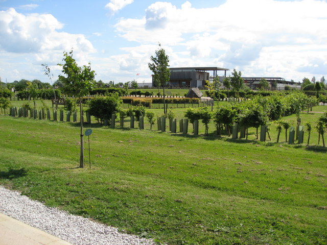
![]() This splendid 75 mile walk runs from the National Memorial Arboretum in Staffordshire to Beacon Hill Country Park in Leicestershire.
This splendid 75 mile walk runs from the National Memorial Arboretum in Staffordshire to Beacon Hill Country Park in Leicestershire.
On the route you'll visit several National Forest highlights including several peaceful woodland areas, a series of reservoirs, attractive parks and historic villages.
The route starts at the western end in Staffordshire at the National Memorial Arboretum in Alrewas, near Lichfield. From here you head north towards Yoxall and the Needwood Forest. You'll head east through the forest towards Tatenhill before visiting the pretty Branston Water Park on the Trent and Mersey Canal.
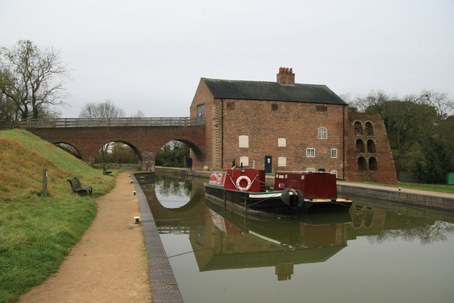
You continue through Walton on Trent, the Rosliston Forestry Centre and Netherseal before coming to another route highlight at Moira Furnace. The historic industrial site includes pleasant trails along the Ashby Canal and the Donisthorpe Woodland park.
You continue through Blackfordby and Hartshorne before coming to Foremark Reservoir. You'll pass along a lovely waterside trail on the eastern side of this expansive lake.
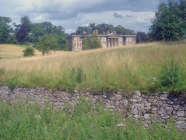
The next stage passes Ticknall where you can explore the gardens and parkland surrounding the historic Calke Park and enjoy more lakeside footpaths at Staunton Harold Reservoir.
The trail continues south through Ashby de la Zouch and Packington before coming to the attractive Sence Valley Forest Park near Coalville. The woodland park is a great place for walks and cycling with lakes and lots of wildlife to see.
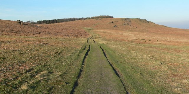
The next stage heads east past Bagworth Heath Woods, Thornton Reservoir and Martinshaw Wood before coming to a major route highlight at Bradgate Country Park. There's hundreds of acres of wonderful parkland with resident deer and the nearby Cropston Reservoir and Swithland Woods to explore. Just north of here the route finishes at Beacon Hill where there are some wonderful views over the area.
Please click here for more information
National Forest Way Ordnance Survey Map  - view and print off detailed OS map
National Forest Way Open Street Map  - view and print off detailed map
National Forest Way OS Map  - Mobile GPS OS Map with Location tracking
National Forest Way Open Street Map  - Mobile GPS Map with Location tracking
Pubs/Cafes
One nice place for a pit stop is the Hub Cafe at the Rosliston Forestry Centre. The centre provides a wealth of information on the area and also has on site bike hire. The surrounding parkland is well worth exploring too with woodland trails, meadows, ponds, lots of butterflies and some interesting sculptures to see.


