Newport Essex Walks
![]()
![]() This historic Essex based village includes a train station and some fine Tudor timber framed buildings. It's also located on a popular long distance footpath and surrounded by some attractive arable fields for walkers. The village is located just a few miles south of Saffron Walden.
This historic Essex based village includes a train station and some fine Tudor timber framed buildings. It's also located on a popular long distance footpath and surrounded by some attractive arable fields for walkers. The village is located just a few miles south of Saffron Walden.
This circular walk from Newport uses part of the Harcamlow Way to visit the valley of Debden Water and the neighbouring village of Debden.
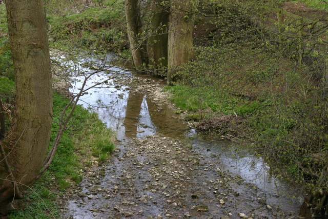
The walk starts in the village centre just to the north of the train station. Here you can pick the Harcamlow Way and follow the waymarked footpath east along the pretty Debden Water. You'll pass a waterfall and the picturesque Debden lake before coming to the village of the same name.
The route then heads south past Spinney Wood to Rook End where you turn west along a bridle track. The trail passes Horseley Wood and Cabbage Wood before returning to Newport.
Newport Essex Ordnance Survey Map  - view and print off detailed OS map
Newport Essex Open Street Map  - view and print off detailed map
Newport Essex OS Map  - Mobile GPS OS Map with Location tracking
Newport Essex Open Street Map  - Mobile GPS Map with Location tracking
Walks near Newport Essex
- Harcamlow Way - This long distance walk takes you to some of the most beautiful countryside, interesting historical sites and delightful country parks in the counties of Cambridgeshire, Essex and Hertfordshire.
The route is a figure-of-eight, starting in Harlow and first heading to Saffron Walden where you will pass the splendid Jacobean mansion and gardens at Audley End - Saffron Walden - This circular walk tours the countryside around the Essex town of Saffron Walden
- Audley End - Explore the stunning gardens surrounding this spectacular Jacobean mansion in Saffron Walden, Essex
- Saffron Trail - A walk through the Essex countryside from the coast at Southend-on-Sea to Saffron Walden
- Thaxted - This attractive Essex based town is a very pleasant place for a stroll
- Harlow - Harlow is located in West Essex in a nice spot in the River Stort Valley
- Haslingfield - This attractive village in South Cambridgeshire is a pleasant place for an easy riverside stroll
- Clavering - This circular walk explores the countryside to the north of the Essex village of Clavering
- Cambourne - This walk visits the Cambourne Nature Reserve before heading to the neighbouring villages of Caxton and Bourn.
- Stansted Mountfitchet - This interesting Essex based village includes an historic castle, a church dating from the 12th-13th century, and a pleasant local nature reserve for easy walks
- Shepreth - This South Cambridgeshire village is located south of Cambridge and north of Royston.
Pubs/Cafes
The Coach & Horses is a good choice for some post exercise rest and refreshment. They serve very good food in a stylish modern interior. There's also a large garden area to relax in on warmer days.
Dog Walking
The country and woodland trails make for a fine dog walk. The Coach and Horses pub mentioned above is also dog friendly.
Further Information and Other Local Ideas
A few miles to the south there's the interesting village of Stansted Mountfitchet. The village includes a number of interesting local attractions including a church dating from the 12th-13th century, an 18th century windmill and a toy museum which claims to be the largest in the world. There's also the noteworthy Mountfitchet Castle which is now run as a wonderful Living History Museum where you can experience life as a villager in 1066.
Photos
In an area of Newport known as the Green, stands a long row of fine houses. Some of them are good examples of timber-framed buildings.


