Newquay to Crantock Walk
![]()
![]() This circular walk takes you from Newquay to Crantock via Towan Head and Pentire Point.
This circular walk takes you from Newquay to Crantock via Towan Head and Pentire Point.
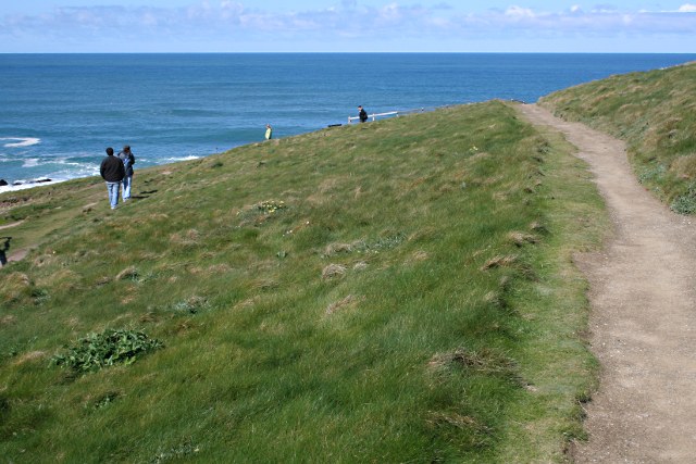
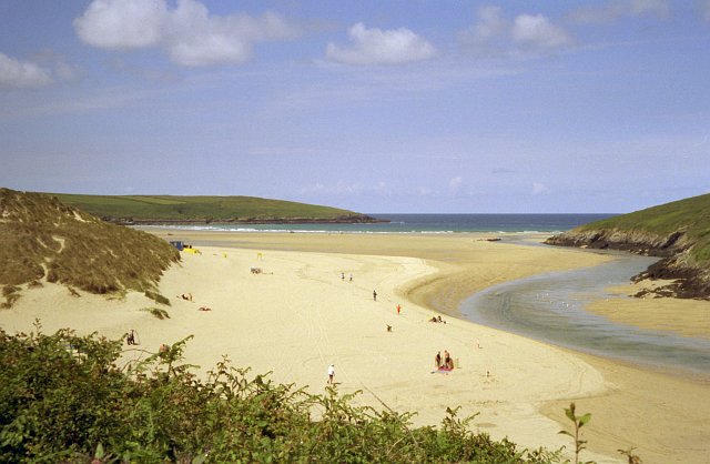
The walk starts from the town centre next to the train station and bus station. From here you can pick up the South West Coast Path and follow the waymarked trail up to Towan Head. You then head south along the popular surfing area at Fistral Beach before coming to Pentire. Follow the footpath around the headland at Pentire Point where there are nice views down to the lovely Crantock Beach.
After passing around Pentire Point you can catch the Fernpit Ferry over the River Gannel to the Crantock side. During high tide in the summer season, the Boathouse provides access between Crantock Beach and East Pentire headland, Newquay. At low tide a foot bridge will allow you to walk across the river free of charge. On the other side follow the path along the Rushy Green before heading south east into Crantock village.
The coast path then runs south east to Trevemper before crossing the Gannel and returning to Newquay.
Newquay to Crantock Ordnance Survey Map  - view and print off detailed OS map
Newquay to Crantock Open Street Map  - view and print off detailed map
Newquay to Crantock OS Map  - Mobile GPS OS Map with Location tracking
Newquay to Crantock Open Street Map  - Mobile GPS Map with Location tracking
Pubs/Cafes
On the walk you could stop for refreshments at the Fernpit Cafe next to the ferry on the East Pentire Headland (Newquay side of the beach). From the cafe there are great views over Crantock beach and the River Gannel. It was built in the late 19th Century and has served as a tea garden for over 90 years. The cafe serves fresh crab sandwiches using crab caught and landed by our very own fishing boat Excelsior.
Further Information and Other Local Ideas
To continue your walking in the area try the Newquay to Perranporth Walk. This takes you south west from Crantock to Penhale Sands and the pretty village of Perranporth. Here you can pick up the Perranporth to St Agnes Walk and visit St Agnes Head, St Agnes Beacon and Wheal Coates tin mine.
In Crantock you can pick up the Holywell to Crantock Circular Walk to visit the lovely Holywell Bay and the secluded beach at Porth Joke.
For more walks in the county see the Cornwall Walks page.
Cycle Routes and Walking Routes Nearby
Photos
Pentire Point West, looking to Pentire Point East. The National Trust farms these meadows in a way that encourages arable 'weeds' such as these poppies and corn marigolds, at their best in early July. A kind of Cornish machair.


