North Petherton Canal Walk
![]()
![]() This Somerset based town sits in a nice position on the edge of the Quantocks. It's also close to some pleasant canalside and riverside walking trails.
This Somerset based town sits in a nice position on the edge of the Quantocks. It's also close to some pleasant canalside and riverside walking trails.
This circular walk from the town explores the local countryside and visits the nearby Bridgwater and Taunton Canal. It uses sections of the Macmillan Way, the Samaritans Way South West and the River Parret Trail to create the 10 mile loop around the town.
The walk starts in the village and follows the Macmillan Way to Fordgate where you can meet with the canal. Follow the towpath north and it will take you towards Bridgwater where there are views of the River Parret. You then pick up the Samaritans Way South West and follow the trail through The Meads towards Rhode. The route heads south along a country lane to Woolsmersdon and Dancing Hill before returning to North Petherton.
North Petherton Ordnance Survey Map  - view and print off detailed OS map
North Petherton Open Street Map  - view and print off detailed map
North Petherton OS Map  - Mobile GPS OS Map with Location tracking
North Petherton Open Street Map  - Mobile GPS Map with Location tracking
Further Information and Other Local Ideas
You can extend the walk by visiting the pretty Durleigh Reservoir which lies just to the north of the town.
The Somerset Space Walk runs along the towpath of the Bridgwater canal. The route is lined with a number of interesting sculptures representing the planets of the Solar System. You can see the scale model of the sun at Maunsel Lock and the description panels next to the sculptures to find out more.
For more walking ideas in the area see the Quantocks Walks and Somerset Walks pages.
Cycle Routes and Walking Routes Nearby
Photos
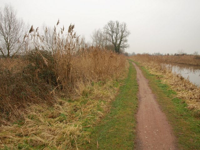
Drain and canal at Fordgate. A drain running parallel to the Bridgwater and Taunton Canal, seen from beside Fordgate swing bridge
River Parrett Trail. Not alongside the River Parrett, but following footpath BW 23/8 along the towpath of the Bridgwater & Taunton Canal, here about 600 metres west of the river.
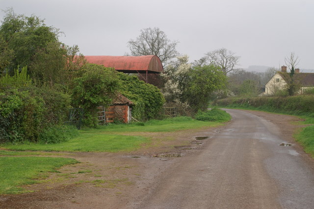
Fence on Dancing Hill just north of the town. Looking down the lower slopes of the hill from the lane which also bears its name. Across Stock Moor are western suburbs of Bridgwater.


