Bridgwater and Taunton Canal
![]()
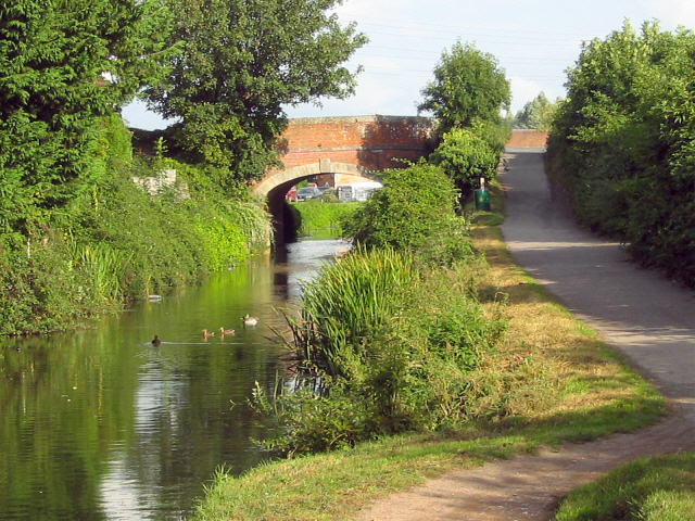
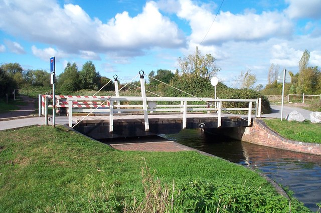
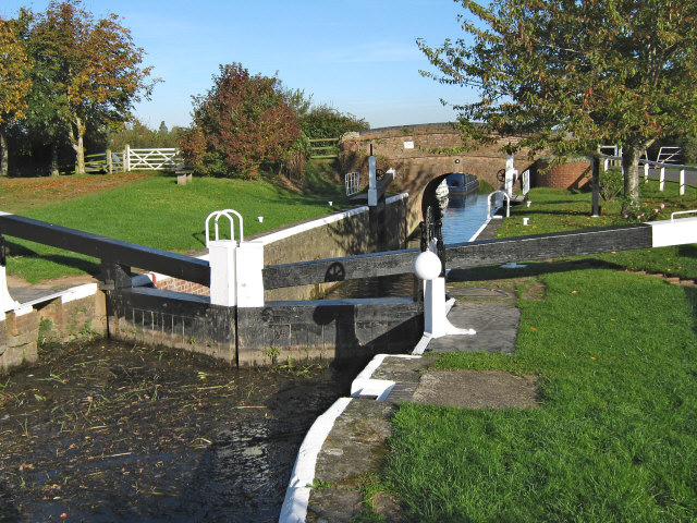
![]() Follow the towpath of the Bridgwater and Taunton Canal on this easy walk or cycle in Somerset. The multi user path runs for about 14 miles from the Bridgwater Marina to Firepool Lock next to the River Tone in Taunton. It's a great way to see the lovely countryside and pretty villages of lowland Somerset. The route follows National Cycle Route 3 making it a great option for families looking for a safe cycle ride or walkers looking for an easy stroll. Along the way there's lots of interesting lock structures and old bridges to look out for. At Mansel lock you will find a fascinating scale model of the sun with planets set along the towpath for six miles in both directions, demonstrating the scale of the solar system. There's also a series of nice pubs and cafes where you can enjoy refreshments.
Follow the towpath of the Bridgwater and Taunton Canal on this easy walk or cycle in Somerset. The multi user path runs for about 14 miles from the Bridgwater Marina to Firepool Lock next to the River Tone in Taunton. It's a great way to see the lovely countryside and pretty villages of lowland Somerset. The route follows National Cycle Route 3 making it a great option for families looking for a safe cycle ride or walkers looking for an easy stroll. Along the way there's lots of interesting lock structures and old bridges to look out for. At Mansel lock you will find a fascinating scale model of the sun with planets set along the towpath for six miles in both directions, demonstrating the scale of the solar system. There's also a series of nice pubs and cafes where you can enjoy refreshments.
The canal is great for wildlife with heron, moorhen, coot and a variety of dragonflies to look out for on the way. There's also lots of interesting plants and wildflowers in the summer months.
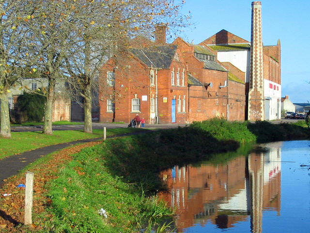
The route starts at the pretty marina in Bridgwater and follows the canal south through the town and out into the countryside. You then pass the villages of North Newton, Creech St Michael and Bathpool, before entering Taunton.
At Bridgwater you can pick up the long distance River Parret Trail to extend your walk. You can follow it north along the river to the beautiful Bridgwater Bay National Nature Reserve.
In Taunton you can pick up the West Deane Way and head west along the River Tone towards Norton Fitzwarren.
Bridgwater and Taunton Canal Ordnance Survey Map  - view and print off detailed OS map
Bridgwater and Taunton Canal Open Street Map  - view and print off detailed map
Bridgwater and Taunton Canal OS Map  - Mobile GPS OS Map with Location tracking
Bridgwater and Taunton Canal Open Street Map  - Mobile GPS Map with Location tracking
Pubs/Cafes
At the end of the route in Taunton you could enjoy some well earned rest and refreshment at The Ring of Bells. They serve good quality food and have a large sunny garden for summer days. You can find them at 16-17 St James Street with postcode TA1 1JS for your sat navs. The pub is also dog friendly if you have your canine friend with you.
Further Information and Other Local Ideas
The Somerset Space Walk runs along the towpath of the canal. The route is lined with a number of interesting sculptures representing the planets of the Solar System. Look out for the scale model of the sun at Maunsel Lock and the description panels next to the sculptures to find out more.
Cycle Routes and Walking Routes Nearby
Photos
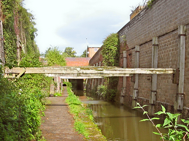
Inscribed on each of the huge beams that reinforce the cutting wall, there's a line of a poem commemorating the navvies who built it.


