Paignton to Brixham Coastal Walk
![]()
![]() This is a popular coastal walk between these two lovely Torbay towns. It's about a 5 mile walk with the option of returning by bus or walking back the same way if you prefer. It's a beautiful stretch of coast with a number of pretty beaches, sheltered coves and a nice woodland section.
This is a popular coastal walk between these two lovely Torbay towns. It's about a 5 mile walk with the option of returning by bus or walking back the same way if you prefer. It's a beautiful stretch of coast with a number of pretty beaches, sheltered coves and a nice woodland section.
Start the walk from Paignton Sands near to the train station and follow the South West Coast Path south to Goodrington Sands. You continue to Broadsands where there is another lovely little beach and a pitch and putt course on the adjacent headland. There's also good views of the Dartmouth Steam Railway, which crosses two Brunel viaducts near the beach.
After leaving Broadsands you head around the Churston Golf Club and through The Grove, an ancient, semi-natural woodland. You then come to the pretty Brixham Battery and Gardens. Here you'll find 14-acres of gardens with an old Battery Observation Post and a 4.7 inch Gun Floor.
The final section takes you to Brixham Harbour and the centre of this attractive coastal fishing port. Look out for the replica of the Golden Hind and the Victorian statue of William of Orange.
You can extend the walk by continuing east along the coast path to Berry Head Country Park. The coastal park is also a nature reserve with lots of interesting coastal plantlife and a large Guillemot colony.
For a longer route try the Torquay to Brixham Walk.
Paignton to Brixham Ordnance Survey Map  - view and print off detailed OS map
Paignton to Brixham Open Street Map  - view and print off detailed map
Paignton to Brixham OS Map  - Mobile GPS OS Map with Location tracking
Paignton to Brixham Open Street Map  - Mobile GPS Map with Location tracking
Further Information and Other Local Ideas
If you continue south along the coast path from Brixham you will soon come to the splendid gardens at Coleton Fishacre. The National Trust property includes a 1920s Art Deco house surrounded by well laid out footpaths with coastal views.
A few miles to the west of Paignton there's the historic Berry Pomeroy Castle to explore. Here you'll find the ruins of a 15th century castle surrounded by pleasant woodland trails. The site is run by English Heritage so there's good facilities with a car park, gift shop and cafe. The John Musgrave Heritage Trail can be picked up in this area too. The waymarked trail runs from Maidencombe to Brixham, visiting several of South Devon's interesting historical sites on the way.
For more walking ideas in the area see the Devon Walks page.
Cycle Routes and Walking Routes Nearby
Photos
Paignton Pier. Work started on Paignton Pier in 1878 and was completed the following year. The 780ft (236m) pier, with its customary grand pavilion at the seaward end, was opened to the public for the first time in June 1879. In 1919 the pier-head and some other buildings were destroyed in a fire. These were never replaced and a period of decline followed. In 1980 the fortunes of Paignton Pier took a turn for the better when a major redevelopment project was undertaken. This included the widening of the shoreward end to ensure a uniform neck, and the construction of the rather stylish pavilions that remain today.
Across Broadsands Beach. Low tide, sandy beach and beach huts along the promenade, even the odd knotted hanky; this is a popular Torbay beach but surprisingly undeveloped with cultivated and uncultivated fields behind the beach. Note the railway viaduct in the distance.
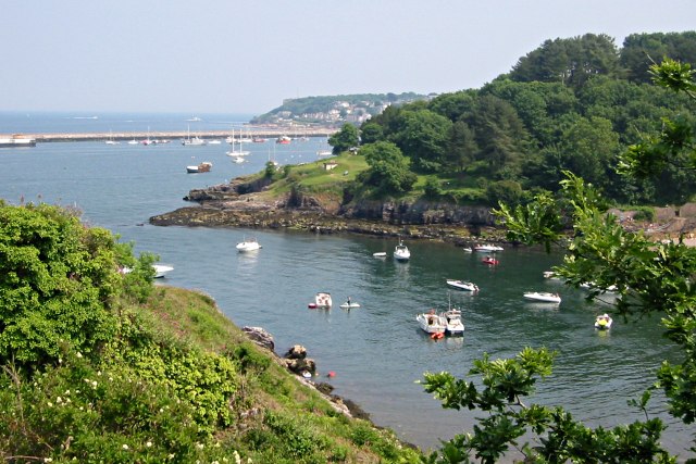
Elberry Cove. Unfortunately the shingle beach of the cove is just out of shot behind the foreground bank. Elberry Cove is a centre for water skiing and jet skiing. It is not a recommended place for people who like a quiet life.
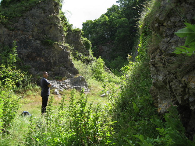
One of the Churston Quarries. Accessed from the coast path between Elberry Cove and Churston Cove. These quarries are beautiful and historically very interesting.


