Pembridge and Eardisland Walk
![]()
![]() This walk takes you from Pembridge to the neighbouring village of Eardisland. They are both picture postcard English villages located on the River Arrow.
This walk takes you from Pembridge to the neighbouring village of Eardisland. They are both picture postcard English villages located on the River Arrow.
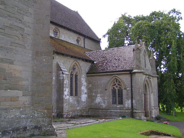
The walk starts in the public car park in Pembridge. Highlights in the village include the Duppa's Almshouses in Bridge Street, founded in 1661. There's also the old church which includes a 13th century chancel. Near the car park you can pick up a public footpath heading west along the River Arrow to Eardisland. It's about a 2 mile walk, passing weirs and waterfalls on the way. Eardisland is very pretty with the an old stone bridge over the river which runs past the little cottages in the village.
Pembridge Ordnance Survey Map  - view and print off detailed OS map
Pembridge Open Street Map  - view and print off detailed map
Pembridge OS Map  - Mobile GPS OS Map with Location tracking
Pembridge Open Street Map  - Mobile GPS Map with Location tracking
Pubs/Cafes
The King's House restaurant in Pembridge is a historic inn well worth some investigation. The timber framed inn dates from the 1400s, having previously been a merchant's house. You can find them on East Street at a postcode of HR6 9HB for your sat navs. There's also The New Inn where there's good pub food and an outdoor seating area. This is located on the Market Square at a postcode of HR6 9DT.
At the other end of the route in Eardisland there's The Cross Inn. The friendly pub has a good menu and a nice garden area. You can find them at postcode HR6 9BW.
Dog Walking
It's a nice walk to do with your dog and the Cross Inn mentioned above is also dog friendly.
Further Information and Other Local Ideas
The villages are on the splendid Black and White Village Trail. This long distance footpath explores several of the towns and villages of the county. It's named after the wonderful old timber framed buildings which are typical of the area. If you follow the trail east it will take you into Leominster. Heading east will take you to the market town of Kington, near the border with Wales.
Head north and you can try the circular Shobdon Walk. The route takes you around the neighbouring village visiting Shobdon Park, the Shobdon Court Estate and the pretty Pearl Lake which is the largest natural body of water in Herefordshire. There's also a fine 18th century pub to visit on the way.
Just to the north of Shobdon you can also pick up the Mortimer Trail. This long distance waymarked trail can be followed to Shobdon Hill Wood and the interesting hill fort Croft Ambrey. From the elevated position of the trail you can enjoy fine views over the Wye Valley. You can also explore the beautiful gardens surrounding the historic Croft Castle here.
The village is also located near to the town of Leominster where you can enjoy riverside trails along the River Lugg on the Leominster Walk.
A few miles to the south there's the delightful village of Weobley where you can see the historic Norman church, several photogenic medieval dwellings and The Ley, a Grade-I listed farmhouse dating to 1589.
For more walking ideas in the area see the Herefordshire Walks page.
Cycle Routes and Walking Routes Nearby
Photos
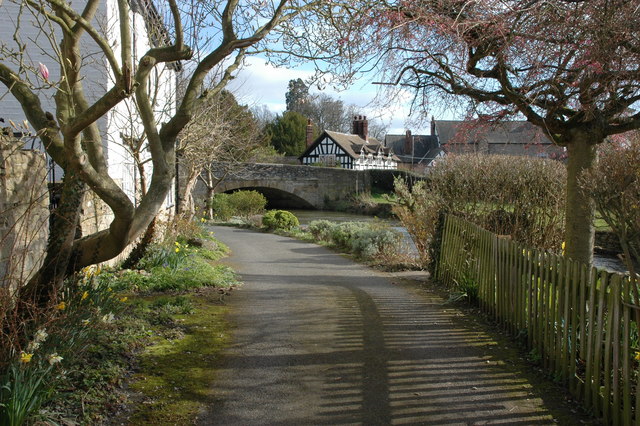
Daffodils in Eardisland. Daffodils on the banks of the river Arrow in the village of Eardisland. At the time of the picture the river is higher than normal after recent heavy rain.


