Tolkien Trail
![]()
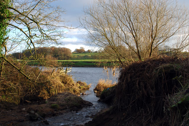
![]() This literary trail explores an area of the Ribble Valley thought to have inspired some of the landscapes from J.R.R Tolkien's 'Lord of the Rings' trilogy. The walk also visits Stonyhurst College where the author worked on the novels during the second world war. Connections to the books include 'Middle-earth' representing the local area, Shire Lane in Hurst Green and the 'River Shirebourn' (the Shireburns built Stonyhurst).
This literary trail explores an area of the Ribble Valley thought to have inspired some of the landscapes from J.R.R Tolkien's 'Lord of the Rings' trilogy. The walk also visits Stonyhurst College where the author worked on the novels during the second world war. Connections to the books include 'Middle-earth' representing the local area, Shire Lane in Hurst Green and the 'River Shirebourn' (the Shireburns built Stonyhurst).
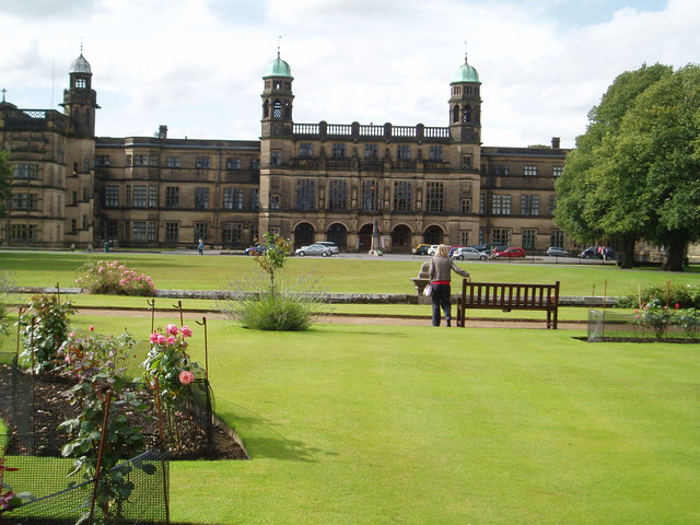
The walk starts at the village of Hurst Green where you follow a footpath south to the River Ribble. Here you pick up a nice waterside section of the Ribble Way, taking you past Winckley Hall, Cromwell Bridge (Oliver Cromwell, spent the night at Stonyhurst on his way to the battle of Preston in 1648) and Lower Hodder Bridge. Here you pick up a section of the River Hodder to take you toward Over Hacking. The route then leaves the river to follow woodland trails and country lanes to Stonyhurst. The college was founded in 1593 and includes several find old buildings, attractive grounds and public gardens with fine views to the Forest of Bowland and Pendle Hill.
Notable buildings include the 19th century Dome Observatory, the medieval Hill Barn Farm and two elegant 17th century Garden Pavillions.
After exploring the college the route passes through Fox Fall Wood before returning to Hurst Green.
It's easy to extend your walking in the area by continuing along the Ribble Way trail in either direction. Heading north east will take you to Clitheroe where you can explore the castle and its attractive grounds. Heading west along the river will soon take you to the interesting Roman village of Ribchester where remains of the old Roman Fort can still be seen.
Tolkien Trail Ordnance Survey Map  - view and print off detailed OS map
Tolkien Trail Open Street Map  - view and print off detailed map
Tolkien Trail OS Map  - Mobile GPS OS Map with Location tracking
Tolkien Trail Open Street Map  - Mobile GPS Map with Location tracking
Pubs/Cafes
In Hurst Green you can enjoy some post exercise relaxation and refrehsment at the Shireburn Arms. The pub dates back to the 17th century and includes a charming interior with several original architectural features. They serve high quality food and also provide rooms if you'd like to stay in the area.
Further Information and Other Local Ideas
A few miles to the north east of the trail is the pretty village of Sawley. Here you can visit the ruins of the 12th century Sawley Abbey which is run by English Heritage. The river is particularly scenic here and there's also a splendid riverside pub for post walk refreshments. Just west of here is the neighbouring village of Waddington. The village is very pretty and a regular winner of the Lancashire Best Kept Village awards. A stroll along the Waddington Brook and through the delightful Coronation gardens is recommended here. To the east is Gisburn with its fine 18th century coaching inn and views of the Stock Beck.
Also in this area is the worthy village of Bolton by Bowland where there's two pretty village greens and views of the Skirden Beck.


