Walk Around Rolleston on Dove
![]()
![]() This Staffordshire village is a pleasant place to start a walk with some lovely country trails through the River Dove valley and the surrounding National Forest. The settlement also has some interesting history with a 16th century pub and a noteworthy church dating back to the 12th century.
This Staffordshire village is a pleasant place to start a walk with some lovely country trails through the River Dove valley and the surrounding National Forest. The settlement also has some interesting history with a 16th century pub and a noteworthy church dating back to the 12th century.
This circular walk from the village visits the neighbouring settlements of Marston on Dove, Hatton and Tutbury. On the way you'll also visit the historic Tutbury Castle and Tutbury Mill.
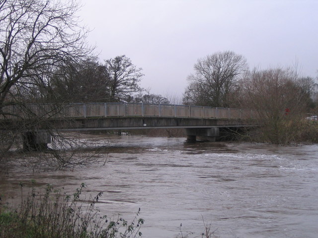
The walk starts in the village and follows Marston Lane north to the Old Dove River and Dove Bridge.
At Dove Bridge you cross the river and continue north to Marston on Dove before following a country lane west to Hatton. Here you turn south, crossing the train line before coming to Tutbury where you can visit the old mill and the castle ruins.
After exploring the village you head south east to Hoblands Farm and Shotwood Hill before returning to Rolleston.
Postcode
DE13 9BE - Please note: Postcode may be approximate for some rural locationsRolleston on Dove Ordnance Survey Map  - view and print off detailed OS map
Rolleston on Dove Open Street Map  - view and print off detailed map
Rolleston on Dove OS Map  - Mobile GPS OS Map with Location tracking
Rolleston on Dove Open Street Map  - Mobile GPS Map with Location tracking
Pubs/Cafes
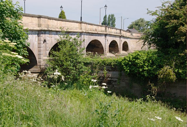
Back in the village The Spread Eagle is a good choice for some post walk rest and refreshment. The inn is one of the oldest building in Rolleston, dating all the way back to the 16th century. It's located in a fine spot on the main bridge next to the babbling Alder brook. Outside there's a lovely large area where you can relax on warmer days. You can find them on Church Road, with postcode DE13 9BE for your sat navs.
Dog Walking
The country trails make for a fine dog walk. The Spread Eagle mentioned above is also dog friendly with water and treats available for your furry friend.
Further Information and Other Local Ideas
Head south of the village and you could enjoy some easy waterside walking along the towpath of the Trent and Mersey Canal. You can pick up the shared cycling and walking path a couple of miles to the south east at Stretton.
A few miles to the north west there's the National Trust's Sudbury Hall in Ashbourne. The 17th century mansion is surrounded by beautiful parkland and gardens with another waterside trail along the scenic lake.
Cycle Routes and Walking Routes Nearby
Photos
Spread Eagle and St Mary's church. The church in Rolleston on Dove is dedicated to St Mary. The Spread Eagle pub next door shares some of its architecture with many railway buildings.


