Saint Botolph's Way - Rickinghall and Botesdale Walk
![]()
![]() This circular walk explores the countryside around the villages of Rickinghall and Botesdale in Mid Suffolk.
This circular walk explores the countryside around the villages of Rickinghall and Botesdale in Mid Suffolk.
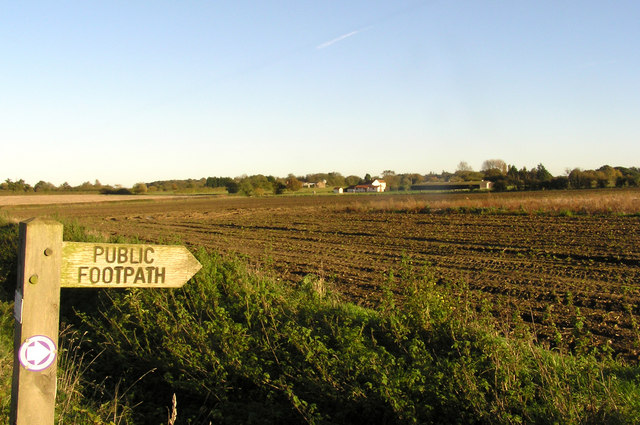
The waymarked walk runs for just under 9 miles, following a series of public footpaths through the area. Look out for the distinctive purple markers to help you around this pleasant rural route. You will also pass the noteworthy St Botolph's church which dates back to the 14th century.
Please scroll down for the full list of walks near and around Rickinghall and Botesdale. The detailed maps below also show a range of footpaths, bridleways and cycle paths in the area.
Saint Botolphs Way Ordnance Survey Map  - view and print off detailed OS map
Saint Botolphs Way Open Street Map  - view and print off detailed map
Saint Botolphs Way OS Map  - Mobile GPS OS Map with Location tracking
Saint Botolphs Way Open Street Map  - Mobile GPS Map with Location tracking
Walks near Rickinghall and Botesdale
- Walsham Le Willows - This Mid Suffolk village is located near Stanton and Thornham Magna.
- Thornham Magna - This attractive Suffolk village includes a 14th century church, a fine 15th century pub and wonderful walking trails in the Thornham Hall Estate.
- Diss - The attractive market town of Diss has some nice options for walkers with the pretty mere and the River Waveney in the vicinity
- Mid Suffolk Footpath - This footpath runs from Hoxne to Stowmarket through the Suffolk countryside
- Angles Way - This splendid walk through the Norfolk Broads was voted the best waterside walk in Britain by waterscape.com in 2003
- Boudicca Way - Follow the Boudicca Way from Norwich to Diss on this walk through the beautiful, unspoilt South Norfolk landscape
- Stowmarket - Enjoy a walk along the River Gipping on this walk from Stowmarket to Needham Market
- Gipping Valley River Path - Follow the River Gipping from Stowmarket to Ipswich on this pleasant riverside walk
- Ipswich - A circular walk around Ipswich with lovely river views and visits to a series of attractive parks
- Needham Lake - Enjoy an easy stroll around Needham Lake on this short walk in Needham Market
- Bradfield Woods - This National Nature Reserve near Bury St Edmunds is one of the best places in Suffolk for wildlife
- Eye - This walk visits the Suffolk market town of Eye
- Wortham Ling - This walk visits the Wortham Ling Site of Special Scientific Interest near the village of Wortham in Mid Suffolk
Photos
St Botolph's church, Botesdale, Suffolk. Chapel House (right) and part of the former chapel of St Bartholomew (left), Botesdale, Suffolk, seen from the north. St Bartholomew's was founded as a chantry chapel in the late 14th or early 15th century. The chantry was suppressed in the Reformation in the 16th century. The chapel was converted into a grammar school and in 1576 the house was added for the schoolmaster. In 1883 the chapel was restored to use for worship as a chapel of ease to the parish of St Mary the Virgin, Redgrave. It has now again ceased to be used for worship.


