Wortham Ling Walks
![]()
![]() This walk visits the Wortham Ling Site of Special Scientific Interest near the village of Wortham in Mid Suffolk.
This walk visits the Wortham Ling Site of Special Scientific Interest near the village of Wortham in Mid Suffolk.
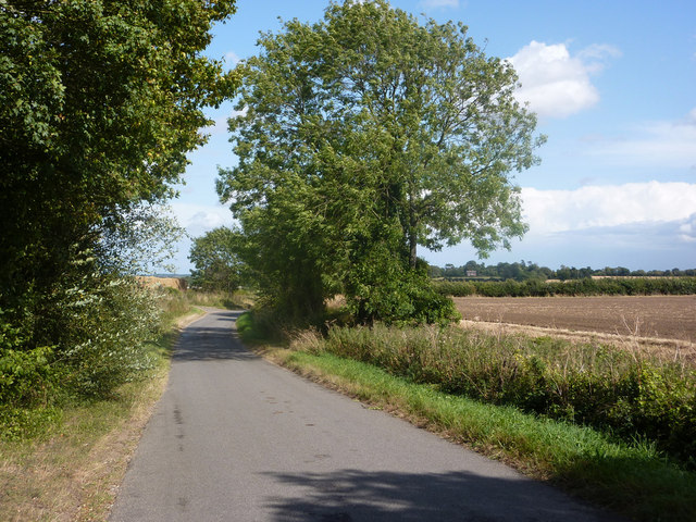
There's some pleasant countryside views and wildlife such as butterflies and rabbits to look out for here. Features at the site include grassland, heather, sandy knolls and gorse.
This circular walk follows the waymarked 'Commons Walk' from the village to Wortham Ling. It runs for just under 6 miles through the area's historic commons, following a mixture of quiet country lanes and public footpaths.
On the way look out for the noteworthy round tower church which dates back to the 12th century. It is located about a mile north of the village and worthy of investigation.
The Angles Way long distance footpath also runs through the site so you could pick this up to extend your walk. The River Waveney flows just past the northern end of the site as well.
Please scroll down for the full list of walks near and around Wortham. The detailed maps below also show a range of footpaths, bridleways and cycle paths in the area.
Wortham Ling Ordnance Survey Map  - view and print off detailed OS map
Wortham Ling Open Street Map  - view and print off detailed map
Wortham Ling OS Map  - Mobile GPS OS Map with Location tracking
Wortham Ling Open Street Map  - Mobile GPS Map with Location tracking
Walks near Wortham Ling
- Walsham Le Willows - This Mid Suffolk village is located near Stanton and Thornham Magna.
- Thornham Magna - This attractive Suffolk village includes a 14th century church, a fine 15th century pub and wonderful walking trails in the Thornham Hall Estate.
- Diss - The attractive market town of Diss has some nice options for walkers with the pretty mere and the River Waveney in the vicinity
- Mid Suffolk Footpath - This footpath runs from Hoxne to Stowmarket through the Suffolk countryside
- Angles Way - This splendid walk through the Norfolk Broads was voted the best waterside walk in Britain by waterscape.com in 2003
- Boudicca Way - Follow the Boudicca Way from Norwich to Diss on this walk through the beautiful, unspoilt South Norfolk landscape
- Stowmarket - Enjoy a walk along the River Gipping on this walk from Stowmarket to Needham Market
- Gipping Valley River Path - Follow the River Gipping from Stowmarket to Ipswich on this pleasant riverside walk
- Ipswich - A circular walk around Ipswich with lovely river views and visits to a series of attractive parks
- Needham Lake - Enjoy an easy stroll around Needham Lake on this short walk in Needham Market
- Bradfield Woods - This National Nature Reserve near Bury St Edmunds is one of the best places in Suffolk for wildlife
- Eye - This walk visits the Suffolk market town of Eye
- Saint Botolphs Way - This circular walk explores the countryside around the villages of Rickinghall and Botesdale in Mid Suffolk.
- Hoxne Heritage Walk - This waymarked circular walk explores the area around the historic Mid Suffolk village of Hoxne.
Further Information and Other Local Ideas
Just to the south west you can pick up the Saint Botolph's Way walk. The circular trail explores the area around the villages of Rickinghall and Botesdale.
Photos
Thatched Cottage at Wortham, Suffolk. The village was home to the author Richard Cobbold between 1825 and 1877. In addition to a famous story of Margaret Catchpole, he published in 1860 The Biography Of A Victorian Village - Wortham, which contains a series of drawings and character details of various members of the community during the mid-Victorian period.


