Seascale Walks
![]()
![]() This Cumbrian village is located on the coast on the edge of the Lake District National Park.
This Cumbrian village is located on the coast on the edge of the Lake District National Park.
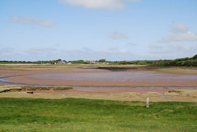
The village is a nice place for a walk with coastal trails and nature reserves to explore. It's also accessible by public transport with a train station on the Cumbrian Coast Line, which runs between Carlisle and Barrow-in-Furness.
This walk from the village follows the Cumbria Coastal Way to the Drigg Beach Nature Reserve and then on to the neighbouring village of Ravenglass. The area is a great for wildlife with lots of wading birds to spot on the river estuaries.
There's also the option of extending the walk in Ravenglass by visiting the splendid Muncaster Castle.
Seascale Ordnance Survey Map  - view and print off detailed OS map
Seascale Open Street Map  - view and print off detailed map
Seascale OS Map  - Mobile GPS OS Map with Location tracking
Seascale Open Street Map  - Mobile GPS Map with Location tracking
Walks near Seascale
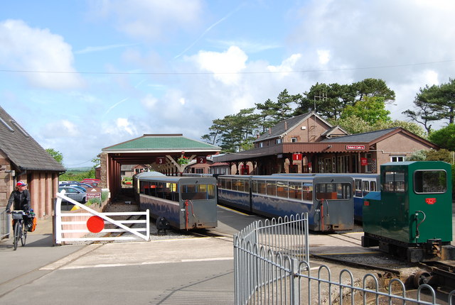
- Ravenglass - This coastal Cumbrian village is a great place for riverside, estuary and beach walking.
- Ravenglass to Eskdale - This walk from Ravenglass takes you to the beautiful Eskdale in the Lake District National Park
- Eskdale - Explore beautiful Eskdale and enjoy waterside paths along the rushing River Esk on this varied route
- Stanley Ghyll Force - This lovely walk in Eskdale takes you to Stanley Ghyll Force Waterfall
- Cumbria Coastal Way - Explore the wonderful coastline of Cumbria on this splendid long distance path
- Muncaster Fell - This fine circular walk near Ravenglass climbs to Muncaster Fell with a visit to Muncaster Tarn and great views along the Cumbrian Coast
- Swinside Stone Circle - This walk visits the Swinside Stone Circle north of Millom in Cumbria.
- Muncaster Castle - Enjoy an easy stroll around the beautiful grounds and gardens of this Grade I listed building in Ravenglass
- Wast Water - Enjoy a circular walk around one of the most stunning lakes in the Lake District National Park.
- Devoke Water - This walk visits Devoke Water, the largest tarn in the Lake District
- Hodbarrow Lakes Nature Reserve - Enjoy a walk around Hodbarrow Lakes RSPB on the edge of the Lake District National Park
- Haverigg - This Cumbrian village lies in a scenic spot at the mouth of the Duddon Estuary.
- Gosforth - This Lake District based village is located close to the coast at Seascale and Wast Water, England's deepest lake
Further Information and Other Local Ideas
Just a few miles inland you'll find the neighbouring village of Gosforth. It's well worth a visit with a 17th century pub, a 12th century church and an ancient Viking cross to see. The circular walk from the village explores Blengdale and the River Bleng with some pleasant riverside paths and woodland trails through Blengale Forest.
Photos
Seascale shoreline. The village became a popular seaside resort with the opening of the Furness Railway in the 1850s. Beyond can be seen the remaining Winscale pile stack, soon to be demolished, where the 1957 fire occurred.


