Selby Canal
![]()
![]() Follow the Selby Canal from the Yorkshire town of Selby to West Haddlesey on this nice waterside walk. The canal runs for 6 miles, linking the River Ouse in Selby with the River Aire in West Haddlesey. It's a very pleasant walk with locks, barges and nice tree lined footpaths on the way. There's also good views of the surrounding Yorkshire countryside for much of the route.
Follow the Selby Canal from the Yorkshire town of Selby to West Haddlesey on this nice waterside walk. The canal runs for 6 miles, linking the River Ouse in Selby with the River Aire in West Haddlesey. It's a very pleasant walk with locks, barges and nice tree lined footpaths on the way. There's also good views of the surrounding Yorkshire countryside for much of the route.
The walk starts just east of the train station where you can pick up the Trans Pennine Trail and follow it south along the canal. The shared cycling and walking trail takes you past Westfield and Oakney Wood. The trail continues past Brayton, Burn Bridge and Burton Bridge before coming into West Haddlesey where the canal joins with the River Aire.
If you'd like to continue your walking around Selby you could head to the nearby Skipwith Common. There's lots of nice trails here with the added bonus of Exmoor ponies and a herd of wild deer to look out for. The common is located just a few miles north east of the town centre.
Selby Canal Ordnance Survey Map  - view and print off detailed OS map
Selby Canal Open Street Map  - view and print off detailed map
Selby Canal OS Map  - Mobile GPS OS Map with Location tracking
Selby Canal Open Street Map  - Mobile GPS Map with Location tracking
Pubs/Cafes
Near the end of the walk you can visit The Jug Inn in Chapel Haddlesey for some refreshments. The popular pub has a good menu and a nice outdoor seating area. You can find it just to the east of the canal at postcode YO8 8QE.
Further Information and Other Local Ideas
Just to the west there's the expansive Bishop Wood near Sherburn in Elmet. There's miles of trails to follow around this ancient woodland with pretty bluebells to see in the spring months.
To the east there's the circular Howden 20 where you can visit the impressive Howden Minster in the nearby market town.
Cycle Routes and Walking Routes Nearby
Photos
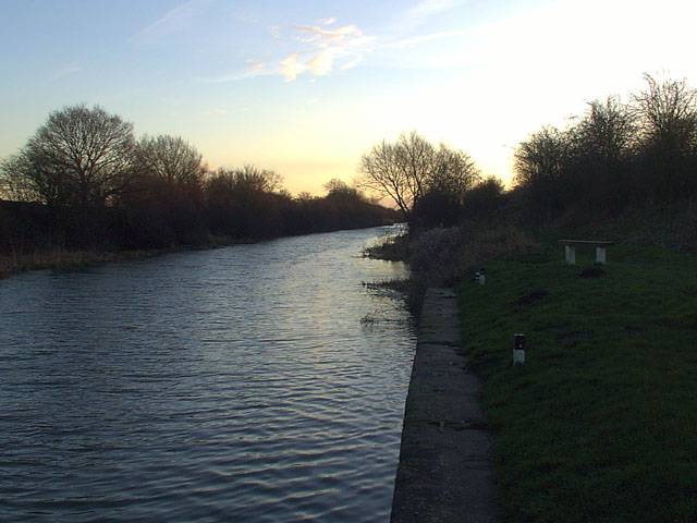
The 6 mile long Selby Canal was built at a cost of £20,000 to connect the Rivers Ouse and Aire. It is still navigable
Looking west-southwest from the drain tunnel between Burn Bridge and the A63. The canal was built in the 1770s by the Aire and Calder Canal Company, worried by rumours of a planned canal between Leeds and Selby which could have taken some of their business. It was dug in a hurry and as a result was only three and a half feet deep.
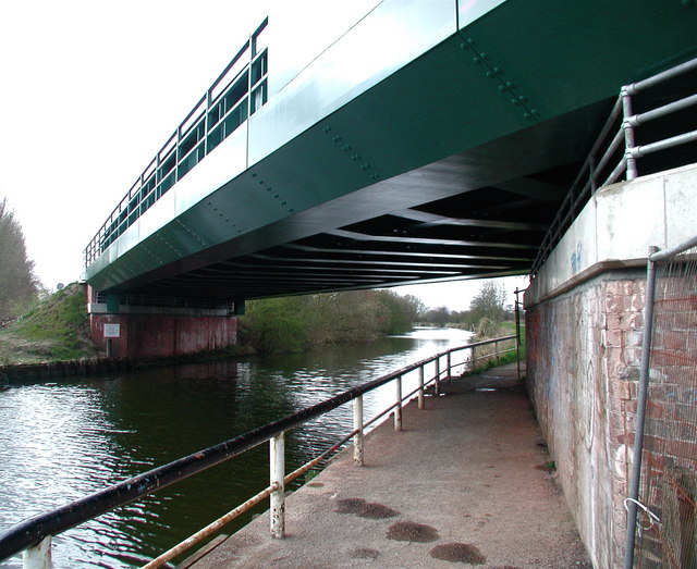
The Selby to Doncaster railway line crossing the Selby Canal, where the towpath forms part of the Trans Pennine Trail.
Culvert on the Canal. This substantial construction is simply a means of enabling a stream in this flat area to cross the canal. The problem is that the water level in the stream is slightly higher than that in the Canal, so a tube under the Canal has had to be constructed.


