Sherburn in Elmet Walks - Near and Around
![]()
![]() This historic village in North Yorkshire is located just west of Selby. The settlement is noted for its 12th century church and large airfield just to the east.
This historic village in North Yorkshire is located just west of Selby. The settlement is noted for its 12th century church and large airfield just to the east.
This walk from the village takes you to Bishop Wood near Selby.
The walk starts in the village and follows footpaths east past the train station and the Sherburn-in-Elmet Airfield, which is currently the base for the Sherburn Aero Club. You'll pass Lenerton Farm, the Carr Dike and Rest Park before coming to Bishop Wood. These expansive woods have a number of flat trails with bluebells in the spring months and wildflowers in the summer.
Sherburn in Elmet Ordnance Survey Map  - view and print off detailed OS map
Sherburn in Elmet Open Street Map  - view and print off detailed map
Sherburn in Elmet OS Map  - Mobile GPS OS Map with Location tracking
Sherburn in Elmet Open Street Map  - Mobile GPS Map with Location tracking
Walks near Sherburn in Elmet
- Selby Canal - Follow the Selby Canal from the Yorkshire town of Selby to West Haddlesey on this nice waterside walk
- Trans Pennine Trail - This terrific walking and cycling trail runs from coast to coast across northern England entirely on surfaced paths
- Skipwith Common - This large open space near Selby has three colour coded, waymarked walks to try
- Bishop Wood - This walk explores the woodland trails in the expansive Bishop Wood near Selby, Cawood and Wistow.
- Howden 20 - This 20 mile circular walk takes you on a tour of the countryside around the market town of Howden in Yorkshire.
Photos
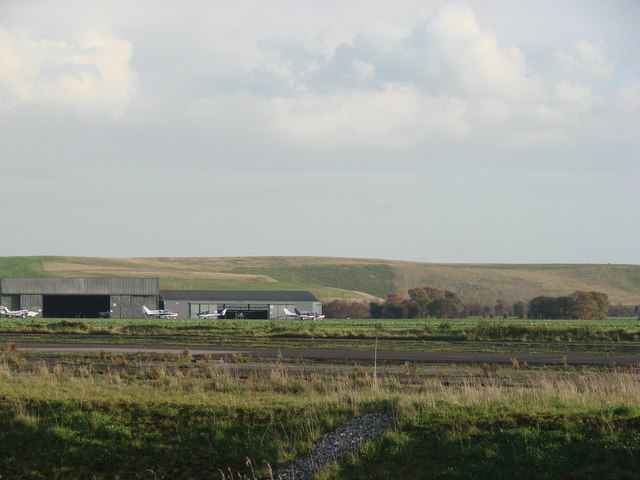
View across the Proving Ground, Sherburn in Elmet Air Field. Sherburn's links with the air industry go back to the Second World War when the Blackburn Aircraft Company built the Fairey Swordfish in the village. Production ended in 1945, and by then 1,699 such aircraft had been built in Sherburn. The airfield also saw the first flight of L.E. Baynes's famous prototype glider, the Baynes Bat.
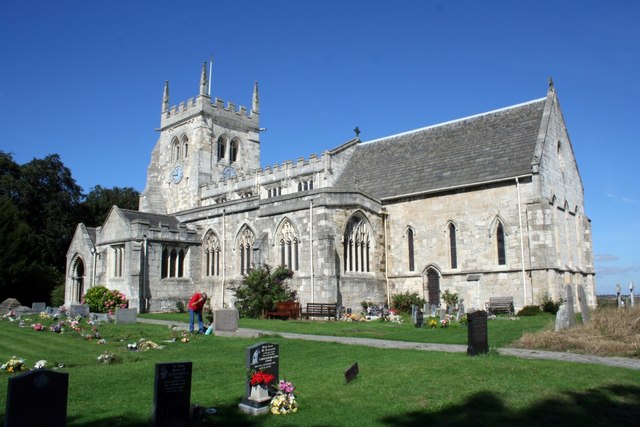
The 12th century church in the village. The field adjoining All Saints' Church is the site of the palace of kings of Elmet, which was given (with the manor of Cawood) by Athelstan to the Archbishops of York on his conversion to Christianity in or around the 10th century. The church itself is unusually large for a village parish church and dates from around 1120, with Norman pillars and a later-built large tower housing a ring of eight bells. It was built on the site of an earlier Anglo-Saxon church. The church is now a Grade I listed building


