Shrewsbury Canal
![]()
![]() This cycling and walking trail follows the route of the Old Shrewsbury Canal from the centre of Shrewsbury to Haughmond Hill at Uffington.
This cycling and walking trail follows the route of the Old Shrewsbury Canal from the centre of Shrewsbury to Haughmond Hill at Uffington.
The path starts at Castle Fields, just to the north east of the train station. It then heads through Ditherington and Heathgate before finishing at Uffington next to Haughmond Hill. It's a nice flat path running for about 3 miles with views of the River Severn.
The route runs along part of the long distance Shropshire Way and runs alongside the Severn Way. The are both good options for extending your walk.
You could also enjoy a climb to Haughmond Hill at the end of the route, where there are nice woodland trails and great views over Shropshire.
Shrewsbury Canal Ordnance Survey Map  - view and print off detailed OS map
Shrewsbury Canal Open Street Map  - view and print off detailed map
Shrewsbury Canal OS Map  - Mobile GPS OS Map with Location tracking
Shrewsbury Canal Open Street Map  - Mobile GPS Map with Location tracking
Pubs/Cafes
At the end of the route you could head to the Corbet Arms for some post walk refreshments. It's located in a lovely spot in the little village of Uffington on the banks of the River Severn. They serve good quality food which you can enjoy in gardens overlooking the river. You can find them on Church Road at a postcode of SY4 4SN for your sat navs.
Further Information and Other Local Ideas
On the Newport Canal Walk you can visit the other end of the canal. There's a pleasant waterside stretch here through Victoria Park in the pleasant market town.
For more walking ideas in the area see the Shropshire Walks page.
Cycle Routes and Walking Routes Nearby
Photos
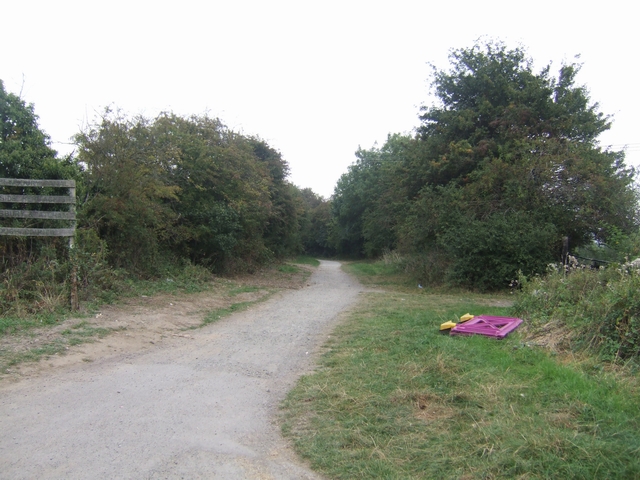
Shropshire Way on the former Shrewsbury Canal. Linear footpath/cycleway between Uffington and Ditherington.
Course of the canal. The Canal was built to link Shrewsbury to the coalfields and developing industries around Oakengates. Later the Newport Canal provided a connection to the Shropshire Union at Norbury Junction.
Uffington Wharf. The road used to rise up to cross a hump-back bridge over the canal in the picture foreground. In old photographs the buildings are largely hidden from view by the bridge. This is one of a number of obstacles facing the Shewsbury and Newport Canals Trust.


