Newport Shropshire Walks - Near and Around
![]()
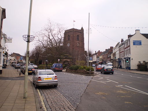
![]() This Shropshire based market town sits close to the border with Staffordshire in Telford and Wrekin.
This Shropshire based market town sits close to the border with Staffordshire in Telford and Wrekin.
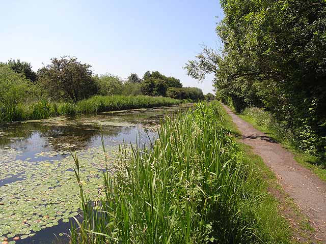
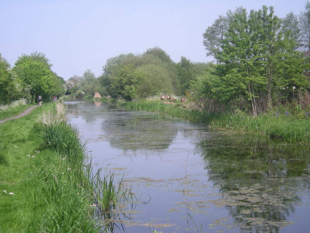
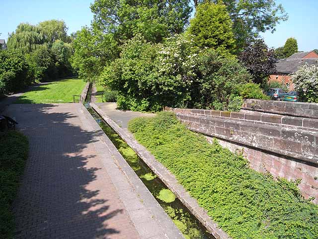
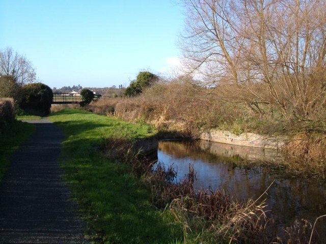
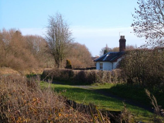
This walk in the town takes you along the now disused Newport Canal. There's a nice footpath running along the canal for just over a mile along the northern outskirts of the town. You can pick up the trail just to the west of the town centre at Windy Meadows Farm. Follow the trail east and it will take you past Victoria Park which is worth a small detour from the route. The park is a pleasant place for a stroll in the town with ducks and swans to feed on the water.
The route then continues to Islington and Meretown but you can extend the outing by continuing east to visit the lovely Aqualate Mere. There's another pleasant waterside path to pick up at this large, scenic lake. The site is one of the area's highlights and notable as the largest natural lake in the English Midlands.
Also of note is the splendid Chetwynd Deer Park. The private 200 acre park hosts special events and can also be hired out. This lies just to the north of the canal and includes the pretty Park Pool where you can look out for a variety of birdlife.
Postcode
TF10 7JE' - Please note: Postcode may be approximate for some rural locationsNewport Ordnance Survey Map  - view and print off detailed OS map
Newport Open Street Map  - view and print off detailed map
Newport OS Map  - Mobile GPS OS Map with Location tracking
Newport Open Street Map  - Mobile GPS Map with Location tracking
Walks near Newport
- Aqualate Mere - Enjoy a peaceful walk through this lovely nature reserve near Newport, Staffordshire
- Eccleshall - This historic small town is located close to Stone and Stafford in the county of Staffordshire
- Telford - This Shropshire based town has a number of long distance trails passsing through the area
- Brewood Canal Walk - This circular walk from Brewood takes you along a section of the Shropshire Union Canal towards Wheaton Aston before heading through the countryside to visit the pretty Belvide Reservoir and the historic Chillington Hall.
- Granville Country Park - This pretty nature reserve in Telford includes copses, heaths, grasslands, pools, scrub, wet woodlands and oak capped mounds
- Ironbridge Way - Starting in Leegomery head south to the historic Ironbridge on this 8 mile walk through Shropshire
- The Wrekin - This popular walk takes you to the summit of this iconic Shropshire Hill
- Severn Way - Follow the River Severn from its source at Plynlimon in Powys, to Bristol, the mouth of the river
- Shifnal - This walk from the town heads through the countryside to visit the historic town of Ironbridge on the River Severn
- Badger Dingle - This walk visits the delightful Badger Dingle Waterfall in the Shropshire village of Badger.
- Albrighton - This large Shropshire based village is located close to Telford and Bridgnorth
- Weston Park - This walk explores the wonderful Capabality Brown landscaped grounds of Weston Park in Weston-under-Lizard, Staffordshire.
- Wellington - This Shropshire based market town is considered the northern gateway to the Shropshire Hills AONB
- Worfield - This little Shropshire village has some pleasant walks through the River Worfe Valley to try
Pubs/Cafes
The Bridge Inn is located very close to the canal at 4 Chetwynd End, TF10 7JE. The pub is over 150 years old and serves good quality food with fine selection of drinks. There's also a nice garden area for warmer days.
Further Information and Other Local Ideas
The Hutchison Way starts/finishes in the town. The long distance waymarked footpath runs to Wellington via Telford and The Wrekin in the Shropshire Hills Area of Outstanding Natural Beauty.
Photos
Newport Canal 1. The Shrewsbury and Newport Canal was officially abandoned in 1944; many sections have disappeared, though some bridges and other structures can still be found. There is an active campaign to preserve the remnants of the canal and to restore the Norbury to Shrewsbury line to navigation.
