Stoke Prior Walks
![]()
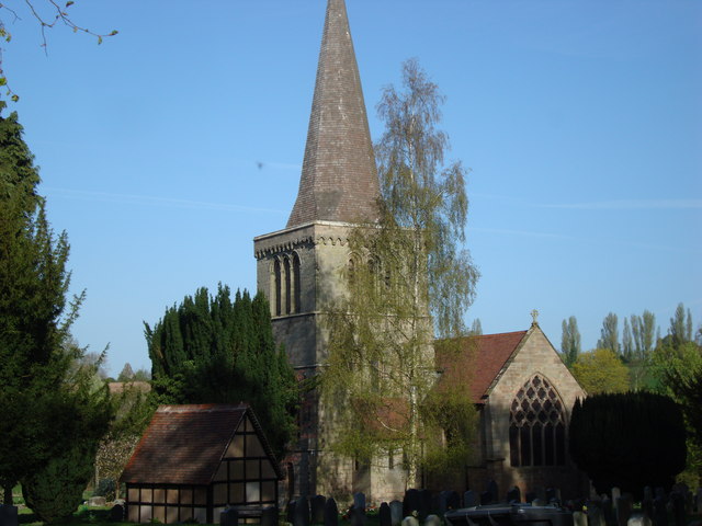
![]() This Worcestershire based village is in a nice spot for country walks and easy strolls along the Worcester and Birmingham Canal.
This Worcestershire based village is in a nice spot for country walks and easy strolls along the Worcester and Birmingham Canal.
This walk starts from Stoke Wharf and takes you along the canal to visit one of the local highlights at Tardebigge Locks. Here you will find the largest flight of locks in Britan, comprising 30 narrow locks on a 2.25 mile (3.6 km) stretch along the canal. There's also the pretty Tardebigge Reservoir to see in this area.
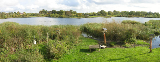
To continue your walking around Stoke Prior head east to visit Upton Warren Nature Reserve. The reserve has some pretty lakes and is said to be Worcestershire’s premier bird-watching reserve. You can find the reserve at postcode B61 7ET. See the video below for more details.
Stoke Prior Ordnance Survey Map  - view and print off detailed OS map
Stoke Prior Open Street Map  - view and print off detailed map
Stoke Prior OS Map  - Mobile GPS OS Map with Location tracking
Stoke Prior Open Street Map  - Mobile GPS Map with Location tracking
Walks near Stoke Prior
- Worcester and Birmingham Canal - Follow the Worcester and Birmingham Canal from the vibrant centre of Birmingham, through the green hills of Worcestershire, to the cathedral city of Worcester
- Tardebigge Locks - Visit the largest flight of locks in Britain on this circular walk around Tardebigge Locks on the Worcester and Birmingham Canal
- Monarch's Way - This incredible 615-mile walk approximates the escape route taken by King Charles II in 1651 after being defeated in the Battle of Worcester
- Barnt Green Circular Walk - This 4 mile circular walk takes you around the village of Barnt Green in Worcestershire
- Redditch - This lovely figure of eight walk takes you along the Miller's Trail to Arrow Valley Country Park in the Worcestershire town of Redditch
- Lickey Hills Country Park - Explore 524 acres of country park at Lickey Hills near Birmingham
- Bittell Reservoirs - This walk visits the Upper and Lower Bittell Reservoirs in Barnt Green, near Birmingham
- Arrow Valley Country Park - Enjoy waterside cycling and walking in this splendid country park in Redditch
- Bromsgrove - This circular walk around Bromsgrove makes use of waymarked trails to visit the canal and countryside surrounding the town
- Royal Hunters Walk - This circular walk explores the countryside and woodlands to the west of Bromsgrove in the West Midlands.
- John Corbett Way - This walk runs from Stoke Prior to Droitwich Spa along the John Corbett Way.
Pubs/Cafes
The Priory Cafe is located in a fine canalside spot at Stoke Wharf. You can sit outside and enjoy a lovely meal while watching the boats go by. You can find them at 138 Hanbury Rd, Stoke Prior, Bromsgrove B60 4JZ.
Photos
Moors Pools Nature Reserve at Upton Warren. The northern Moors pools are freshwater lakes formed on previously agricultural land; the great expanse of water attracts a wide range of birds.


