Barnt Green Circular Walk
![]()
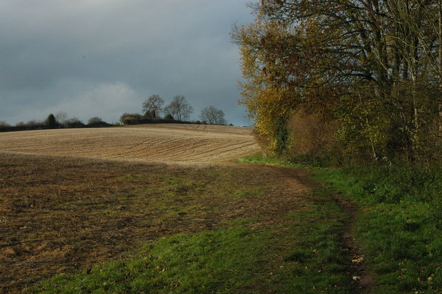
![]() This 4 mile circular walk takes you around the village of Barnt Green in Worcestershire. You'll visit the popular Lickey Hills Country Park and the prety Bittell Reservoirs, with lovely countryside views to enjoy on the way.
This 4 mile circular walk takes you around the village of Barnt Green in Worcestershire. You'll visit the popular Lickey Hills Country Park and the prety Bittell Reservoirs, with lovely countryside views to enjoy on the way.
The walk starts in the centre of Barnt Green, close to the train station. From here you pick up footpaths heading north west into Lickey Hills. There's miles of woodland trails, hill climbs and wildlife to see in the park. Keep your eyes peeled for deer, badgers and a variety of birdlife.
Near the visitor centre you follow a footpath east past Cofton Hackett to the reservoirs which are a great place for birdwatching. Follow the trails south along the water before turning south west to return to Barnt Green.
The village is in a great location for further walking. You can pick up the towpath of the Worcester and Birmingham Canal on the eastern side of the Lower Bittell Reservoir. Following it south will take you through Alvechurch to Tardebigge Locks and Bromsgrove.
The North Worcestershire Path runs along the northern edge of the Upper Bittell Reservoir and through Lickey Hills. You could pick it up and head east through the countryside or head west and climb to Beacon Hill for splendid views over the city of Birmingham.
Barnt Green Circular Walk Ordnance Survey Map  - view and print off detailed OS map
Barnt Green Circular Walk Open Street Map  - view and print off detailed map
*New* - Walks and Cycle Routes Near Me Map - Waymarked Routes and Mountain Bike Trails>>
Barnt Green Circular Walk OS Map  - Mobile GPS OS Map with Location tracking
Barnt Green Circular Walk Open Street Map  - Mobile GPS Map with Location tracking
Pubs/Cafes
In the village there's the Barnt Green Inn for some post walk refreshment. The Tudor roadhouse inn dates to 1651 with refurbishment in the 19th century. They have a good menu and an outdoor seating area for warmer days. You can find them at 22 Kendal End Road with postcode B45 8PZ for your sat navs.


