Tattershall Lakes
![]()
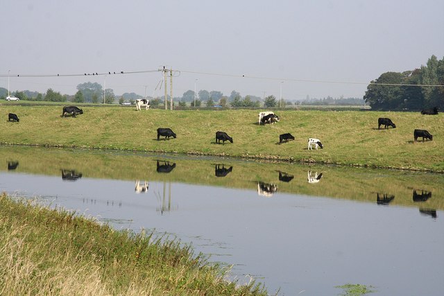
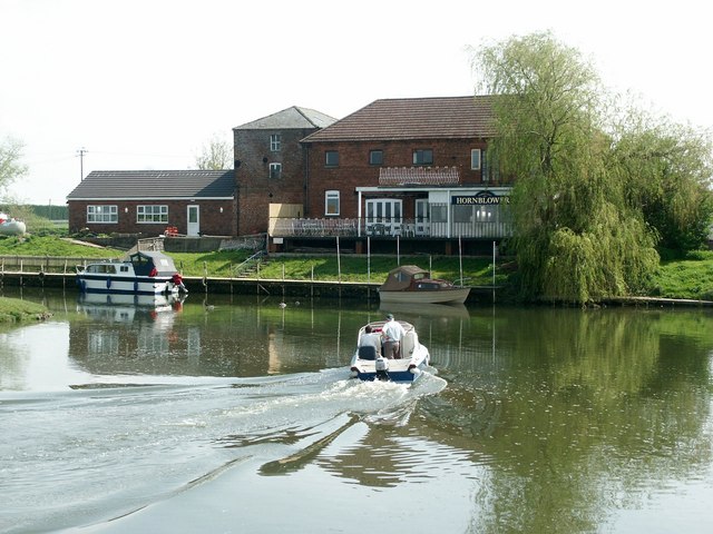
![]() This waterside walk takes you along Tattershall Lakes and the River Bain in the Lincolnshire village of Tattershall.
This waterside walk takes you along Tattershall Lakes and the River Bain in the Lincolnshire village of Tattershall.
The walk starts in the village centre on the River Bain, next to the remains of Tattershall Castle. The 15th century castle and grounds are run by the National Trust and well worth a visit. There's a splendid view over the village and surrounding countryside from the roof top walk of the Castle tower.
From the village centre it is a short walk south to the lakes. A public footpath runs along the eastern side of the lakes and the River Bain. It runs south to Dogdyke where there are views of the River Witham and a nice pub where you can enjoy refreshments before returning on the same footpaths.
Postcode
LN4 4LR - Please note: Postcode may be approximate for some rural locationsTattershall Lakes Ordnance Survey Map  - view and print off detailed OS map
Tattershall Lakes Open Street Map  - view and print off detailed map
Tattershall Lakes OS Map  - Mobile GPS OS Map with Location tracking
Tattershall Lakes Open Street Map  - Mobile GPS Map with Location tracking
Pubs/Cafes
The Packet Inn is located in Dogdyke and offers good food with nice views over the River Witham from the riverside patio. It's a lovely spot to sit outside and relax on warmer days. You can find the pub at Belle Isle with a postcode of LN4 4UU for your sat navs.
Further Information and Other Local Ideas
To continue your walking in the area you could head north along the River Witham to visit the interesting village of Woodhall Spa. There's some lovely trails here through The Pinewoods in the centre of the village. This area also includes the interesting Kinema in the Woods. It dates from 1922, and it is the only fully functioning cinema in the UK to employ back projection.
Also nearby is the historic Roman town of Horncastle where you can enjoy a stroll along the old Horncastle Canal and visit the delightful village of Kirkby On Bain.
Cycle Routes and Walking Routes Nearby
Photos
Tattershall village sign. In the Market Place, with the Fortescue Arms behind. The sign portrays Holy Trinity church and the castle.
Tattershall, Lincolnshire. Probably the most photographed view from the roof top walk of the Castle tower. Here you can see, left to right, the village, the castle guardhouse which is now the National Trust gift shop and information centre, the Collegiate Church of the Holy Trinity and the village of Coningsby (in TF2257) beyond. The tree lined river in the middle distance is the River Bain.


