Tetford Circular Walk
8.7 miles (14 km)
![]()
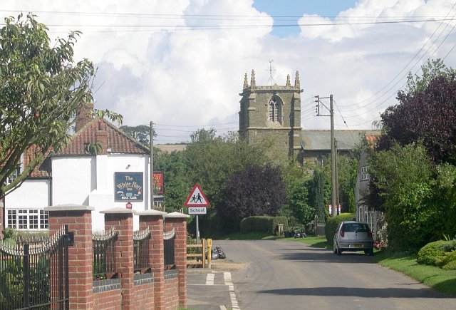
![]() This circular walk explores the countryside around the Lincolnshire village of Tetford.
This circular walk explores the countryside around the Lincolnshire village of Tetford.
The village is located just off the Lincolnshire Wolds Way, a long distance waymarked path running through the highlights of the AONB.
This circular walk from Tetford uses part of the trail, country lanes and other public footpaths to visit the neighbouring village of South Ormsby and the 143 metre high Tetford Hill. On the way you'll enjoy some splendid views over the surrounding Wolds countryside.
For another fine circular walk through the area see the Lincolnshire Wolds Romans and Vikings Circular Walk.
Scroll down for the full list of other walks near and around Tetford.
Tetford Ordnance Survey Map  - view and print off detailed OS map
Tetford Open Street Map  - view and print off detailed map
*New* - Walks and Cycle Routes Near Me Map - Waymarked Routes and Mountain Bike Trails>>
Tetford OS Map  - Mobile GPS OS Map with Location tracking
Tetford Open Street Map  - Mobile GPS Map with Location tracking
Walks near Tetford
- Hagworthingham - This small Lincolnshire village is located in the East Lindsey district near Horncastle
- Snipe Dales Country Park - Explore 220 acres of country park and nature reserve in the beautiful Lincolnshire Wolds
- Horncastle - This walk takes you along the old Horncastle Canal and the River Bain from the town centre of this Lincolnshire town.
- Woodhall Spa - Woodhall Spa is a very attractive former spa town on the edge of the Lincolnshire Wolds
- Tattershall Lakes - This waterside walk takes you along Tattershall Lakes and the River Bain in the Lincolnshire village of Tattershall.
The walk starts in the village centre on the River Bain, next to the remains of Tattershall Castle - Donington on Bain - This pretty village is located in the Lincolnshire Wolds AONB, on the banks of the River Bain
- Louth Canal - Enjoy a waterside walk along the Louth Canal from Louth to Tetney Marshes
- Belchford - This pretty village lies in the Lincolnshire Wolds, an Area of Outstanding Natural Beauty
- Chambers Farm Wood - Enjoy a series of peaceful walking trails in this forest and nature reserve in Wragby
- Viking Way - Follow in the footsteps of the Norse invaders on this long distance walk from the Humber Bridge to Oakham in Rutland
- Biscathorpe - This Lincolnshire Wolds walk takes you from the medieval village at Biscathorpe to another medieval site at nearby Wykeham
- Binbrook - This pretty village is located in the East Lindsey district of Lincolnshire near to the town of Market Rasen.
- Kirkby On Bain - This riverside Lincolnshire village sits in a peaceful rural spot near Horncastle, Woodhall Spa and Coningsby
- Goulceby - Goulceby is a Lincolnshire Wolds village located in the East Lindsey district of the county.


