Snipe Dales Country Park
![]()
![]() Explore 220 acres of country park and nature reserve in the beautiful Lincolnshire Wolds.
Explore 220 acres of country park and nature reserve in the beautiful Lincolnshire Wolds.
The park consists of a raised heathland nature reserve and a semi-natural coniferous woodland. There are well designed, waymarked walking trails taking you through the peaceful woodland where you can look out for Willow warbler, blackcap, chaffinch, chiffchaff, and coal tits. Also visit Peasam Hill with its pretty wildflower meadows including orchid, ragged robin and meadowsweet. The Furze Hill Nature Reserve is also delightful with a pretty stream and a variety of butterflies to look out for: peacock, painted lady, holly blue and small tortoiseshell are regular visitors.
Snipe Dales is located at the village of Hagworthingham on the tip of the Lincolnshire Wolds AONB. It is also only 4 miles east of Horncastle. You can start your walk from the car park at the southern end of the site, just east of Winceby. Postcode for sat navs is PE23 4JB.
Postcode
PE23 4JB - Please note: Postcode may be approximate for some rural locationsSnipe Dales Country Park Ordnance Survey Map  - view and print off detailed OS map
Snipe Dales Country Park Open Street Map  - view and print off detailed map
Snipe Dales Country Park OS Map  - Mobile GPS OS Map with Location tracking
Snipe Dales Country Park Open Street Map  - Mobile GPS Map with Location tracking
Pubs/Cafes
Head into nearby Hagworthingham and you could visit the George and Dragon for some post walk refreshment. They do great food and also have a large garden area to sit out in. You can find them on the High Street at postcode PE23 4NA for your sat navs.
Dog Walking
The woodland and heathland trails are ideal for dog walking though you are requested to keep them on leads. Dogs are not permitted on the red walk through the nature reserve. Bins are dotted around the site. The George and Dragon pub mentioned above is also dog friendly.
Further Information and Other Local Ideas
About a mile to the west you'll find the site of the battle of Winceby. There's an information board here telling you all about this civil war battle which took place in 1643. See the Hagworthingham Walk for photos and details of the site.
A few miles further west of the park you'll find the interesting Roman town of Horncastle. Here you can enjoy a walk along the old Horncastle Canal and the River Bain to the pretty village of Kirkby On Bain.
About a mile to the north east there's the village of Hagworthingham where you can pick up the epic Lindsey Trail. This circular cycling and walking trail explores the Lincolnshire Wolds AONB on a bridleway path.
A few miles to the north east there's Alford to visit. It's a worthy place with the splendid Alford Manor House, a 13th century church and the five sailed Alford Windmill to see.
For more walking ideas in the area see the Lincolnshire Walks page.
Cycle Routes and Walking Routes Nearby
Photos
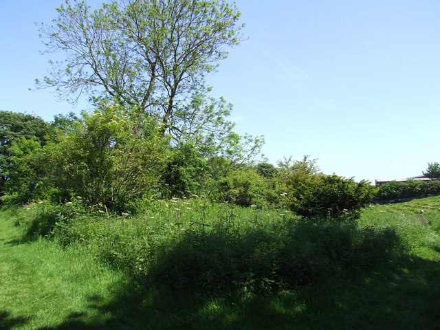
The site of the former Church of St Margaret, Winceby, Lincolnshire. The parish records of the church of St Margaret date back to 1579. In 1842 it was a parish church with a thatched roof. It was rebuilt in 1866 and could seat 84 people. The population of Winceby varied much and declined markedly by the mid 20th-century; so much so that there was too small a congregation to raise funds to repair the church. It fell into such a state of repair that it ceased to be used in 1960 and was demolished in about 1963–64. There is little evidence of the church now, but some of the gravestones survive.


