Trull Waterfall
![]()
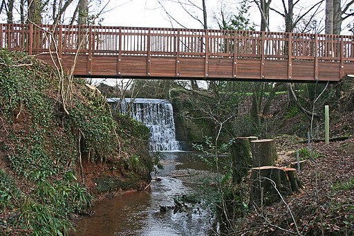
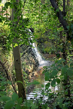
![]() This walk visits the picturesque Trull Waterfall near Taunton in Somerset. The falls are something of a hidden gem with pleasant trails and a viewing bridge at the site.
This walk visits the picturesque Trull Waterfall near Taunton in Somerset. The falls are something of a hidden gem with pleasant trails and a viewing bridge at the site.
You can find the waterfall on the eastern side of the village of Trull. Here there are some nice footpaths along the Sherford Brook leading to the pretty falls and bridge. After admiring the falls you can continue south along the East Deane Way to visit Poundisford Park and neighbouring Pitminster. There is an old stone bridge and another waterfall to see on this section of the path.
Postcode
TA3 7EH - Please note: Postcode may be approximate for some rural locationsTrull Waterfall Ordnance Survey Map  - view and print off detailed OS map
Trull Waterfall Open Street Map  - view and print off detailed map
Trull Waterfall OS Map  - Mobile GPS OS Map with Location tracking
Trull Waterfall Open Street Map  - Mobile GPS Map with Location tracking
Pubs/Cafes
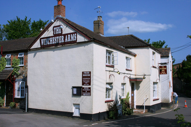
The Winchester Arms is located very close to the falls. They serve good quality food and have a pleasant garden area next to the stream. You can find them on Church Road at postcode TA3 7LG for your sat navs.
Dog Walking
The shady trails make for a pleasant dog walk and the Winchester Arms mentioned above is also dog friendly.
Further Information and Other Local Ideas
To continue your waterside walking in the area head into Taunton where you can pick up the towpath of the Bridgwater and Taunton Canal.
For more walking ideas in the area see the Blackdown Hills Walks page.


