Whippendell Woods Circular Walk
![]()
![]() Explore 165 acres of ancient woodland on this circular walk through Whippendell Woods in Watford. There are a series of good trails to follow with an avenue of lime trees dating back to 1672. Other trees include oak, beech, ash and silver birch. In the spring months the woods are covered with huge numbers of pretty bluebells.
Explore 165 acres of ancient woodland on this circular walk through Whippendell Woods in Watford. There are a series of good trails to follow with an avenue of lime trees dating back to 1672. Other trees include oak, beech, ash and silver birch. In the spring months the woods are covered with huge numbers of pretty bluebells.
The area is also very good for wildlife spotting. Look out for birds such as woodpeckers, tawny owls and sparrow hawks. Other creatures you might see include bats, badgers and deer.
The woods were used as the location for The Gungan Forest in Star Wars Episode 1 The Phantom Menace. The video on the page shows scenes from the film.
This walk starts at the car park, just off Grove Mill Lane and takes you on a circuit around the outskirts of the wood.
It's easy to extend your walk if you have time. You can head a mile east to the nearby Cassiobury Park crossing the Grand Union Canal on the way. Also nearby is Chipperfield Common where you'll find waymarked, woodland walking trails to try.
Postcode
WD3 4TG - Please note: Postcode may be approximate for some rural locationsWhippendell Woods Ordnance Survey Map  - view and print off detailed OS map
Whippendell Woods Open Street Map  - view and print off detailed map
Whippendell Woods OS Map  - Mobile GPS OS Map with Location tracking
Whippendell Woods Open Street Map  - Mobile GPS Map with Location tracking
Further Information and Other Local Ideas
At the southern edge of the woods you can pick up the Croxley Green Boundary Walk. This waymarked circular walk explores the area around the worthy village, visiting the canal and the River Gade on the way.
For more walking ideas in the area see the Hertfordshire Walks page.
Cycle Routes and Walking Routes Nearby
Photos
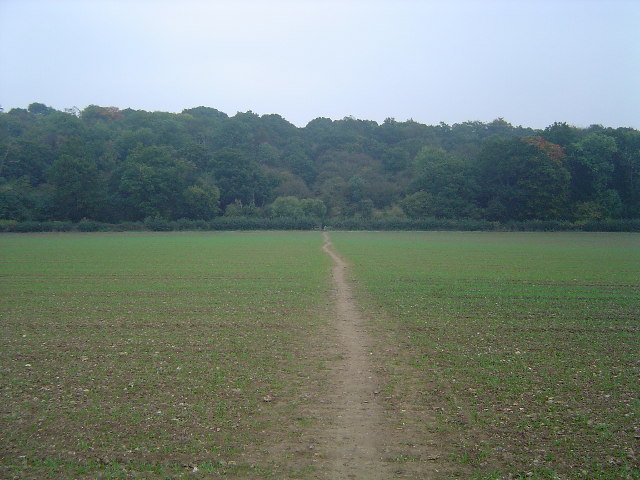
Footpath, field, trees, sky. Whippendell Wood viewed looking eastwards, Rousebarn Lane runs behind the hedge at the bottom of the field.


