Chipperfield Common
![]()
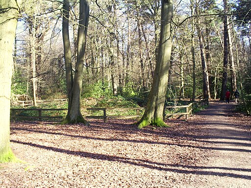
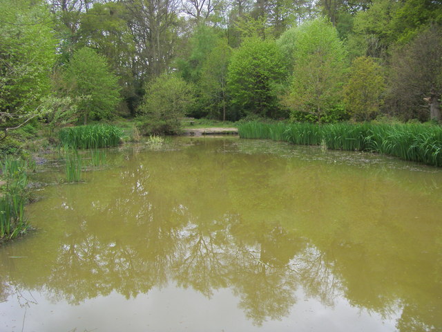
![]() The 117 acre common in Chipperfield has some waymarked woodland walking trails. Features on the common include eight veteran Spanish sweet chestnut trees, two early Bronze Age burial mounds and the Apostles Pond which is surrounded by willow trees. You can start your walk from the car park at the northern end of the site. From here you can pick up a network of paths taking you across the common. After your walk you can enjoy a stroll around the pretty village of Chipperfield with its nice pubs, cricket pavilion, war memorial, village green and old churches.
The 117 acre common in Chipperfield has some waymarked woodland walking trails. Features on the common include eight veteran Spanish sweet chestnut trees, two early Bronze Age burial mounds and the Apostles Pond which is surrounded by willow trees. You can start your walk from the car park at the northern end of the site. From here you can pick up a network of paths taking you across the common. After your walk you can enjoy a stroll around the pretty village of Chipperfield with its nice pubs, cricket pavilion, war memorial, village green and old churches.
To extend your walking in the area you could pick up the Grand Union Canal towards Hemel Hempstead or Watford. The Chess Valley Walk also passes to the south of Chipperfield, near Sarrat and Chenies.
Postcode
WD4 9BU - Please note: Postcode may be approximate for some rural locationsChipperfield Common Ordnance Survey Map  - view and print off detailed OS map
Chipperfield Common Open Street Map  - view and print off detailed map
Chipperfield Common OS Map  - Mobile GPS OS Map with Location tracking
Chipperfield Common Open Street Map  - Mobile GPS Map with Location tracking
Explore the Area with Google Street View 
Walks near Chipperfield
- Little Chalfont - This attractive Buckinghamshire village is part of the 'Chalfonts' along with Chalfont St Giles and Chalfont St Peter.
- Chess Valley Walk - Follow the River Chess through the Chess Valley on this delightful trail through Buckinghamshire and Hertfordshire
- Latimer - This historic Buckinghamshire village sits in a fine riverside location in the Chess Valley
- Kings Langley - This attractive Hertfordshire based village has some nice canal and country trails to try
- Sarratt - This picture postcard village sits in a delightful spot in the Chess Valley in Hertfordshire
- Flaunden - This Hertfordshire based village is located close to the border with Buckinghamshire on the edge of the Chiltern Hills.
Pubs/Cafes
A fine example of an 18th Century Inn The Two Brewers in the tranquil and picturesque village of Chipperfield is a traditional pub filled with old world charm. Opposite the pub is a quintessential village green where guests are free to take in a local cricket match or just simply soak up the sun. Indoors on cold days there’s a roaring open fire surrounded by luxurious leather sofas. You can find the pub at postcode WD4 9BS for your sat navs.
Dog Walking
The woodland trails on the common are ideal for dog walking. The Two Brewers mentioned above is also dog friendly.
Further Information and Other Local Ideas
The common is located only a couple of miles north east of the splendid Chenies Manor House. You could follow footpaths and country lanes south west from the common to reach the historic house. The Tudor House is a Grade I listed building and is surrounded by award-winning gardens. Original 13th Century features including a Medieval well, a dungeon and a reputed priest hole. You can tour the house and garden for a fee, from April to October.
Near Chenies is the worthy village of Little Chalfont where you could pay a visit to the Little Chalfont Nature Park. The lovely little park includes a rare wild flower meadow, old woodlands and relics of its past as a farm and a cherry orchard. There's information boards where you can learn about the variety of flora and fauna at the site. You can find them on Cokes Lane at postcode HP7 9QB for sat navs.
To the east of the common there's the interesting village of Kings Langley where there's a 14th century church, a local common and some pretty locks and weirs along the canal.
For more walking ideas in the area see the Hertfordshire Walks and Chilterns Walks pages.
Photos
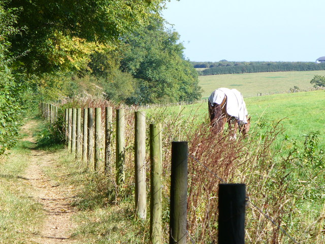
Hertfordshire Way by Chipperfield Common. Well-trodden footpath passing a grassy meadow beside The Common.


