Whittle Le Woods Walks
3.7 miles (6 km)
![]()
![]() This Lancashire based village has some nice waterside trails along the local river and canal. There's also an access point to a major country park on the outskirts of the settlement.
This Lancashire based village has some nice waterside trails along the local river and canal. There's also an access point to a major country park on the outskirts of the settlement.
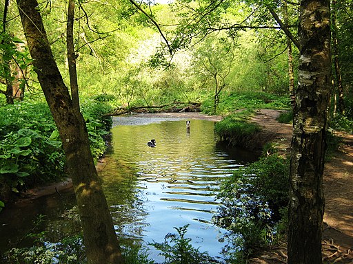
This walk takes you north from the village along the River Loctock to the lovely Cuerden Valley Park. You can start the walk from the car park just west of the village and follow a shared cycling and walking trail through the park. Along the way there's ponds, woodland and some fine views to the surrounding countryside.
To continue your waterside walking in the area head to the southern side of the village to pick up the Leeds and Liverpool Canal. You could follow this south to Chorley where you can explore the historic Astley Park.
Whittle Le Woods Ordnance Survey Map  - view and print off detailed OS map
Whittle Le Woods Open Street Map  - view and print off detailed map
Whittle Le Woods OS Map  - Mobile GPS OS Map with Location tracking
Whittle Le Woods Open Street Map  - Mobile GPS Map with Location tracking
Walks near Whittle Le Woods
- Cuerden Valley Park - This lovely short ride or walk takes you through the Cuerden Valley Country Park in Bamber Bridge, Lancashire.
- Leeds and Liverpool Canal - Enjoy waterside cycling and walking along Britain's longest single canal
- Astley Park - This pretty park in Chorley has walking paths and a cycle track to enjoy
- Chorley Canal Walk - Enjoy a waterside walk from Chorley to Adlington along a pleasant section of the Leeds and Liverpool Canal
- Chorley - This circular walk explores the countryside, canals and parks surrounding the Lancashire town of Chorley
- Euxton Yarrow River Circular - This circular walk explores the woods, riverside paths and countryside around the Lancashire village of Euxton.
- Worden Park - This super country park in Leyland is perfect for a peaceful afternoon stroll


