Winsford Walks
![]()
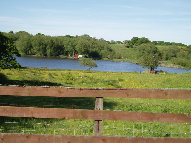
![]() This Cheshire based town sits in a nice spot next to the canalised section of the River Weaver. It also includes a number of pretty lakes (or flashes) that show evidence of the town's salt mining history.
This Cheshire based town sits in a nice spot next to the canalised section of the River Weaver. It also includes a number of pretty lakes (or flashes) that show evidence of the town's salt mining history.
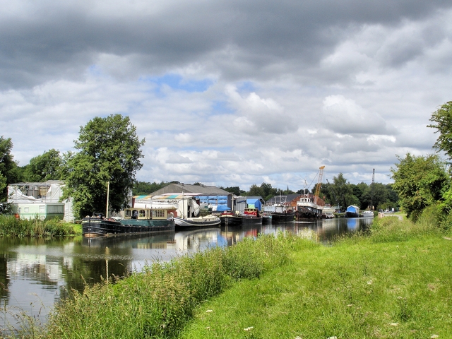
This waterside walk from the town follows the Weaver Way to neighbouring Northwich along the canal. It's a nice easy walk with pretty locks and good views of the surrounding countryside on the way.
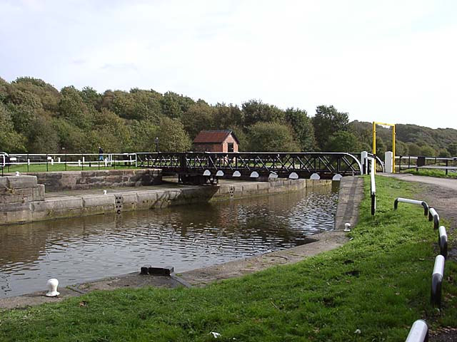
The route starts on the eastern side of the town at Weaver Parkway, just north of the picturesque Bottoms Flash Reservoir. The parkway is a good sized green space on the outskirts of the town. There's nice trails along the river and lots of wildlife to look out for too. You can park for free at the Rangers’ Office here and then pick up a shared walking and cycling path running north along the Weaver Navigation. The trail will take you past Moulton, Meadowbank Salt Mine and Eaton Bank Woods before coming to the Valeroyal locks.
The route then heads north east through Kingsmead and Northwich before finishing at Carey Park to the north of the town.
Postcode
CW7 3BU - Please note: Postcode may be approximate for some rural locationsWinsford Ordnance Survey Map  - view and print off detailed OS map
Winsford Open Street Map  - view and print off detailed map
Winsford OS Map  - Mobile GPS OS Map with Location tracking
Winsford Open Street Map  - Mobile GPS Map with Location tracking
Walks near Winsford
- Weaver Way - Follow the Weaver Way through Cheshire from Audlem to Frodsham on this delightful 40 mile walk
- Northwich - A lovely circular walk around Northwich, taking in the River Weaver, the Trent and Mersey Canal and several parks including the splendid Marbury Country Park
- Middlewich - This Cheshire based town has some nice waterside walks along the two canals and the river which flow through the area
- Dane Valley Way - Follow the River Dane through Derbyshire and Cheshire on this fabulous walk from Buxton to Middlewich.
Highlights on the route include the wonderful Three Shires Head where the counties of Cheshire, Derbyshire and Staffordshire meet - Trent and Mersey Canal - Follow the Trent and Mersey Canal through Derbyshire, Staffordshire and Cheshire on this long distance waterside walk
- Shropshire Union Canal - Travel from the ourskirts of Wolverhampton to Ellesmere Port on this long distance waterside walk along the Shropshire Union Canal.
The route starts at Autherley Junction in the Oxley area of Wolverhampton - Marbury Country Park - This splendid country park is in a beautiful location in Northwich, Cheshire
- North Cheshire Way - Starting at Hooton Station, near Ellesmere Port, follow the North Cheshire Way through Frodsham, Northwich, Knutsford and Wilmslow to the finish point at Disley
- Holmes Chapel - This Cheshire based village has some nice riverside trails and a local country park to visit.
- Crewe and Nantwich Circular Walk - This circular walk takes you through the countryside and villages surrounding Crewe and Nantwich.
You start off at Coppenshall just north of Crewe and first head to Weston - Sandbach - This Cheshire based market town has an interesting history and a number of fine local walks to try
- Congleton - This Cheshire based town is great for waterside walking with a delightful local mere and canalside paths to enjoy
- Little Budworth Country Park - Explore woodland, lowland heath, ponds and boggy mires in this country park near Winsford
- Pickmere Lake - This pretty lake is located just north of Northwich in the Cheshire village of Pickmere.
- Whitegate Way - A lovely, short cycle or walk on a disused railway line, running from Cuddington to Winsford through the Cheshire countryside.
Pubs/Cafes
The Red Lion sits in a lovely spot next to the Weaver. The red brick pub dates from the 18th century and serves good quality food. If the weather is fine you can sit outside and enjoy your meal with views over the water. You can find them at 1 Wharton Road with a postcode of CW7 3AA for your sat navs.
Dog Walking
The waterside path is a nice one to do with your dog and the Red Lion mentioned above is also dog friendly.
Further Information and Other Local Ideas
Head east to Middlewich and you can pick up another waterside walk along the Trent and Mersey Canal.
A few miles west of the town there's Little Budworth Country Park where there's woodland trails and lakes to explore.
The popular Whitegate Way starts/finishes in the town. The shared cycling and walking trail follows a disused railway line north to Cuddington. A car park and the old station can be found at the Winsford end.
For more walking ideas in the area see the Cheshire Walks page.
Photos
Meadowbank rock salt mine, Winsford. Over 100 lorries queue on Bradford Road to load with crushed rock salt during the coldest week in seven years, 6 January 2009, 10am. During these cold spells many hundreds of lorries arrive daily to load with rock salt to de-ice the country's roads. The site is operated by the Salt Union (Compass and Minerals).
Path near Vale Royal Abbey. Broad field-edge path to the East of Vale Royal Abbey. The path emerges from the other side of the wood onto the banks of the original course of the River Weaver.


