Crewe Walks - Near and Around
![]()
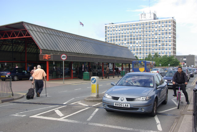
![]() This Cheshire based town is famous for its train station which is one of the largest stations in the North West and a major interchange station on the West Coast Main Line. For walkers there's a pleasant town park and to the west the Shropshire Union Canal towpath.
This Cheshire based town is famous for its train station which is one of the largest stations in the North West and a major interchange station on the West Coast Main Line. For walkers there's a pleasant town park and to the west the Shropshire Union Canal towpath.
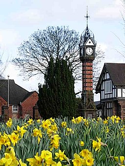
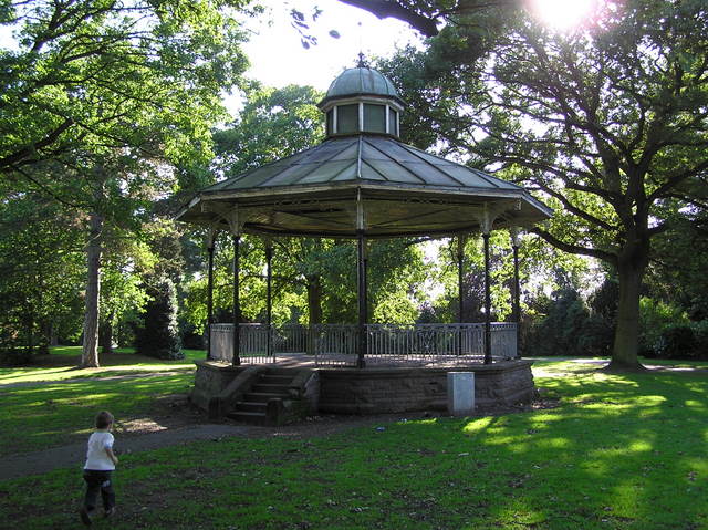
This short circular walk in the town visits the picturesque Tipkinder Park and Queen's Park. In the park there's some nice surfaced footpaths taking you around the landscaped gardens and the pretty lake where you can feed the ducks and swans. It's a fine place for a peaceful stroll in the town centre.
Postcode
CW2 7SE - Please note: Postcode may be approximate for some rural locationsCrewe Ordnance Survey Map  - view and print off detailed OS map
Crewe Open Street Map  - view and print off detailed map
Crewe OS Map  - Mobile GPS OS Map with Location tracking
Crewe Open Street Map  - Mobile GPS Map with Location tracking
Walks near Crewe
- Crewe and Nantwich Circular Walk - This circular walk takes you through the countryside and villages surrounding Crewe and Nantwich.
You start off at Coppenshall just north of Crewe and first head to Weston - Shropshire Union Canal - Travel from the ourskirts of Wolverhampton to Ellesmere Port on this long distance waterside walk along the Shropshire Union Canal.
The route starts at Autherley Junction in the Oxley area of Wolverhampton - Middlewich - This Cheshire based town has some nice waterside walks along the two canals and the river which flow through the area
- Nantwich - Nantwich is located in Cheshire, next to two branches of the Shropshire Union Canal
- South Cheshire Way - This is a splendid walk along canals and through wonderful Shropshire and Cheshire countryside from Grindley Brook, near Whitchurch, to Mow Cop near Congleton.
The walk starts on the Shropshire Union Canal at Grindley Brook and heads to Marbury - Chester Canal Walk - Follow the route of the old Chester Canal on this waterside walk in Cheshire
- Beeston Castle - Climb to the ruins of this 13th century castle and enjoy wonderful views over the Cheshire Plain on this short circular walk in the Peckforton Hills
- Alsager - This Cheshire based town is in a good spot for walking with canal paths, two local rail trails and some decent waymarked countryside trails running through the surrounding area.
- Trent and Mersey Canal - Follow the Trent and Mersey Canal through Derbyshire, Staffordshire and Cheshire on this long distance waterside walk
- Rode Hall - This fine Georgian country house is located in Cheshire, near Kidsgrove and Sandbach
- Sandbach - This Cheshire based market town has an interesting history and a number of fine local walks to try
- Salt Line - This route follows a disused railway line near Alsager and Sandbach
- Wheelock Rail Trail - This shared cycling and walking trail runs along a disused railway line in Sandbach
- Macclesfield Canal - Follow the towpath of the Macclesfield Canal from Marple to Kidsgrove on this waterside walk in Cheshire
- Hurleston Reservoir - This small reservoir sits in a lovely spot on the Llangollen branch of the Shropshire Union Canal near Nantwich.
- Nantwich Riverside Loop - This waterside route in Nantwich uses sections of the River Weaver and the Shropshire Union Canal to create a circular walk through the western part of the town.
Dog Walking
The park is a pleasant place for a dog though it is best to keep them on leads due to the wildlife.
Further Information and Other Local Ideas
The Crewe and Nantwich Circular Walk is a popular way of exploring the area surrounding the town. The waymarked footpath takes you through the countryside and villages surrounding Crewe and neighbouring Nantwich. There's the opportunity to link up with the Shropshire Union Canal on the trail as well.
To the east of the town you'll find the noteworthy Crewe Hall. The 17th century mansion is open as a hotel and includes some lovely parkland surrounding the historic hall.
For more walking ideas in the area see the Cheshire Walks page.
Photos
Crewe Hall Grade-I-listed mansion. The right (eastern) half was completed in 1636 and formed the original Jacobean mansion. The left (western) half dates from the Georgian era and was originally the service wing; the tower was added c. 1870 by E.M. Barry. On the far left is an extension by Thomas Bower dating from 1896. The mansion straddles this square and SJ7354. For more information click here.


