Langley Park Country Park
![]()
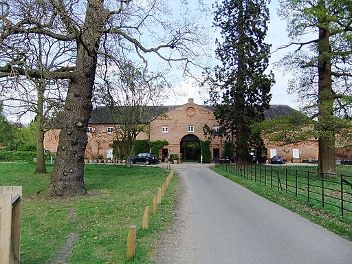
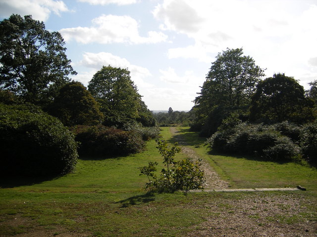
![]() Langley Park has a variety of beautiful trails suitable for cycling and walking. The park contains 154 acres of free access parkland, 360 acres of farmland, delightful Edwardian rhododendron gardens (with views to Windsor Castle) and an Arboretum with a fine collection of specimen trees and a beautiful ornamental pond. There are also excellent facilities with a tea room overlooking the Edwardian gardens and designated picnic areas. Cycling is permitted, except in the Temple Gardens and the Arboretum. Cycle racks are located next to the tea room.
Langley Park has a variety of beautiful trails suitable for cycling and walking. The park contains 154 acres of free access parkland, 360 acres of farmland, delightful Edwardian rhododendron gardens (with views to Windsor Castle) and an Arboretum with a fine collection of specimen trees and a beautiful ornamental pond. There are also excellent facilities with a tea room overlooking the Edwardian gardens and designated picnic areas. Cycling is permitted, except in the Temple Gardens and the Arboretum. Cycle racks are located next to the tea room.
For cyclists there is also the Beeches Way Cycleway. This 12 mile, signposted route joins Black Park, Stoke Common, Burnham Beeches and Dorney Lake allowing you to extend your ride if you wish. For walkers you may also like to try the Beeches Way Walk which passes through Black Park Country Park.
Postcode
SL0 0LS - Please note: Postcode may be approximate for some rural locationsPlease click here for more information
Langley Park Country Park Ordnance Survey Map  - view and print off detailed OS map
Langley Park Country Park Open Street Map  - view and print off detailed map
Langley Park Country Park OS Map  - Mobile GPS OS Map with Location tracking
Langley Park Country Park Open Street Map  - Mobile GPS Map with Location tracking
Pubs/Cafes
There's a good on site cafe for some refreshments after your exercise. They sell a good range of meals, snacks and ice creams.
Dog Walking
The woodland and parkland are ideal for a dog walk. You're likely to see several other people walking their pets on your visit.
Further Information and Other Local Ideas
Just a few miles to the north east there's Denham Country Park in Uxbridge. The park is great for waterside walking and cycling with lovely routes along the Grand Union Canal and the Colne Valley Trail. The Celandine Route can also be picked up near here. It will take you along the River Pinn from Pinner to Cowley.
Cycle Routes and Walking Routes Nearby
Photos
Langley Park Lake. View north-east to the mansion, from George Green Field. Noon on a bright winter day.
Langley Park, Iver Heath, near Slough. This is one of a string of country parks down the Colne Valley


